Tour du Vercors- Drôme
- Distance103,5 km
- Duration33h53
- DifficultyDifficult
- Total altitude change+ 3430 m
- Departure/arrivalSaint-Agnan-en-Vercors
- Route markingYes
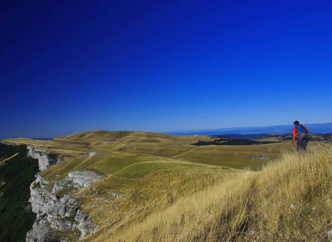
The GRP du Vercors drômois draws an 8 with La Chapelle-en-Vercors at its center. The first loop covers the southern cornice of the Vercors, while the second takes in the forests of the high plateaux.
Se munir dee la carte "Promenades et randonnées en Vercors (Vercors Drôme) édition du PNRV et du dépliant gratuit de l'Office de tourisme (téléchargeable sur www.vercors.com).
Etape 1 : Col de Rousset - Vassieux (8.3km ou 15.6km)
Etape 2 : Vassieux - Font d'Urle (9.3km)
Etape 3 : Font d'Urle - la Chapelle en Vercors (9.1 km ou 153km)
Etape 4 : 2 possibilités : retour au col de rousset et donc boucle en 4 jours (18.3km) ou village de St Julien (13.7 km ou 20.1km) pour une boucle de 7 jours
Etape 5 : Saint Julien - Auberge de Roybon ou hameau de Tortre (7.1 km ou 11.1km)
Etape 6 : Auberge de Roybon ou Tourtres - La Chapelle en Vercors (12.6km ou 85 km)
Etape 7 : La Chapelle en Vercors - Col de Rousset (18.3 km)
- Addresscol de rousset
26420 Saint-Agnan-en-Vercors - Phone04 75 48 22 54
- Emailinfo@vercors-drome.com
- WebsiteSee the website
Drôme Tourisme cannot be held responsible for any problems encountered along the route.
Any problems encountered can be outlined here:
Author: Conseil Départemental de la Drôme - Apidae Tourisme