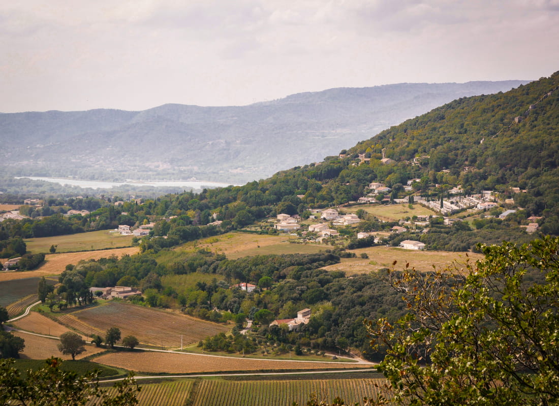
Col de Perette
- Distance7 km
- Duration2h3
- TypeCircular
- DifficultyModerate
- Total altitude change+ 210 m
- Departure/arrivalSaint-Marcel-lès-Sauzet
- Route markingYes
This hike is a real jewel a stone's throw away from Montélimar. The village was built around Saint-Marcel clunisian priory.
Departure from the town hall square Saint-Marcel-lès-Sauzet
Follow the D6 towards Sauzet (North-East).
Turn left onto Chemin de la Grande Carrière to arrive at Chemin de Lavalenche.
At the directional post "Les Maitairies" (alt 120m), follow the direction of Col de Perette on the left. Recover the Chemin du Collet.
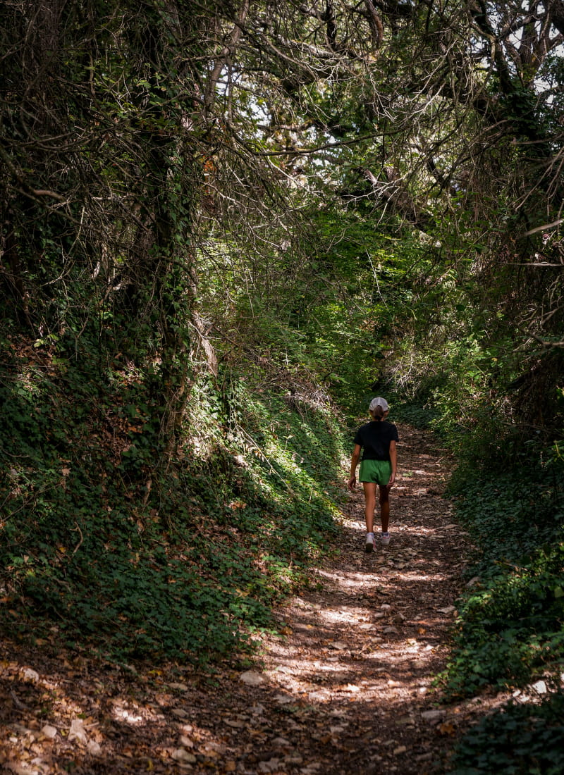
After passing above the farm, turn left onto a path that climbs then immediately right onto the path. Keep to the main path.
At the junction with the Chemin des Fours which goes down, continue to the right on the path.
At the crossroads, above the green oak housing estate, continue right onto the Mountain.
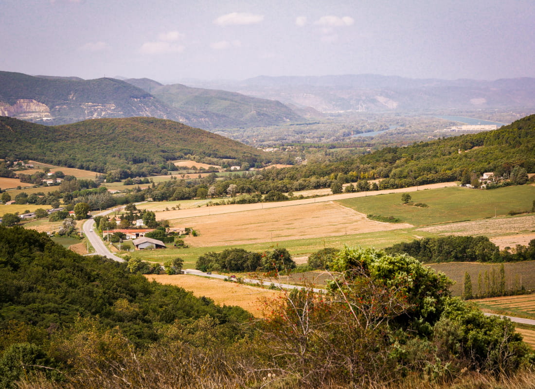
Go to Col de Perrette. Continue straight ahead to reach the summit of Serre Rond (viewpoint to the north over the Rhône valley up to Crussol castle). Continue on the path which goes back down the South-West slope. Arrive at a road.
Take this on the left and, at the bend, take Chemin des Bois, up to the Plein Sud housing estate.
Walk along the wall on the left, going up the small path in line with Rue du Noyer. At the end, turn right and go down alongside the cemetery, via Montée de Maisonneuve.
Turn left, onto the Route de la Coucourde, and cross the D6 to find the parking area
- AddressParking de la Mairie
26740 Saint-Marcel-lès-Sauzet - Phone04 75 01 00 20
- Emailinfo@montelimar-tourisme.com
- WebsiteSee the website
Drôme Tourisme cannot be held responsible for any problems encountered along the route.
Any problems encountered can be outlined here:
Author: Conseil Départemental de la Drôme - Apidae Tourisme