Col de Font Payanne
Ajouter au carnet de voyage

- Distance12,6 km
- Duration4h30
- DifficultyDifficult
- Total altitude change+ 506 m
- Departure/arrivalVassieux-en-Vercors
- Route markingYes
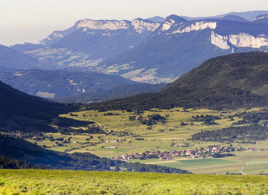
A pleasant hike with lovely panoramic views over the Vassieux-en-Vercors plateau, and a dive into the village's history with a visit to the Resistance Memorial.
- Address26420 Vassieux-en-Vercors
- Phone04 75 48 22 54
- WebsiteSee the website
Drôme Tourisme cannot be held responsible for any problems encountered along the route.
Any problems encountered can be outlined here:
Author: Conseil Départemental de la Drôme - Apidae Tourisme
To show the map
0M
0M