Cougoir
Ajouter au carnet de voyage
- Distance12,6 km
- Duration3h51
- DifficultyVery difficult
- Total altitude change+ 690 m
- Departure/arrivalTeyssières
- Route markingYes
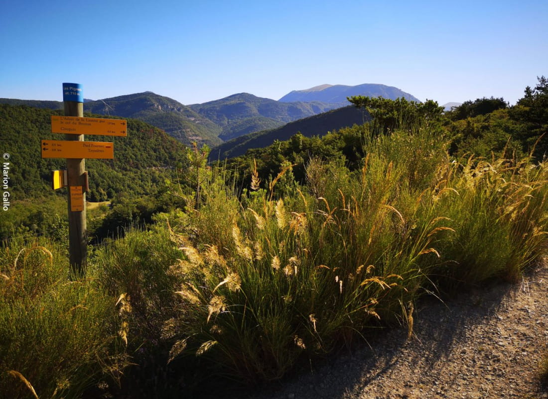
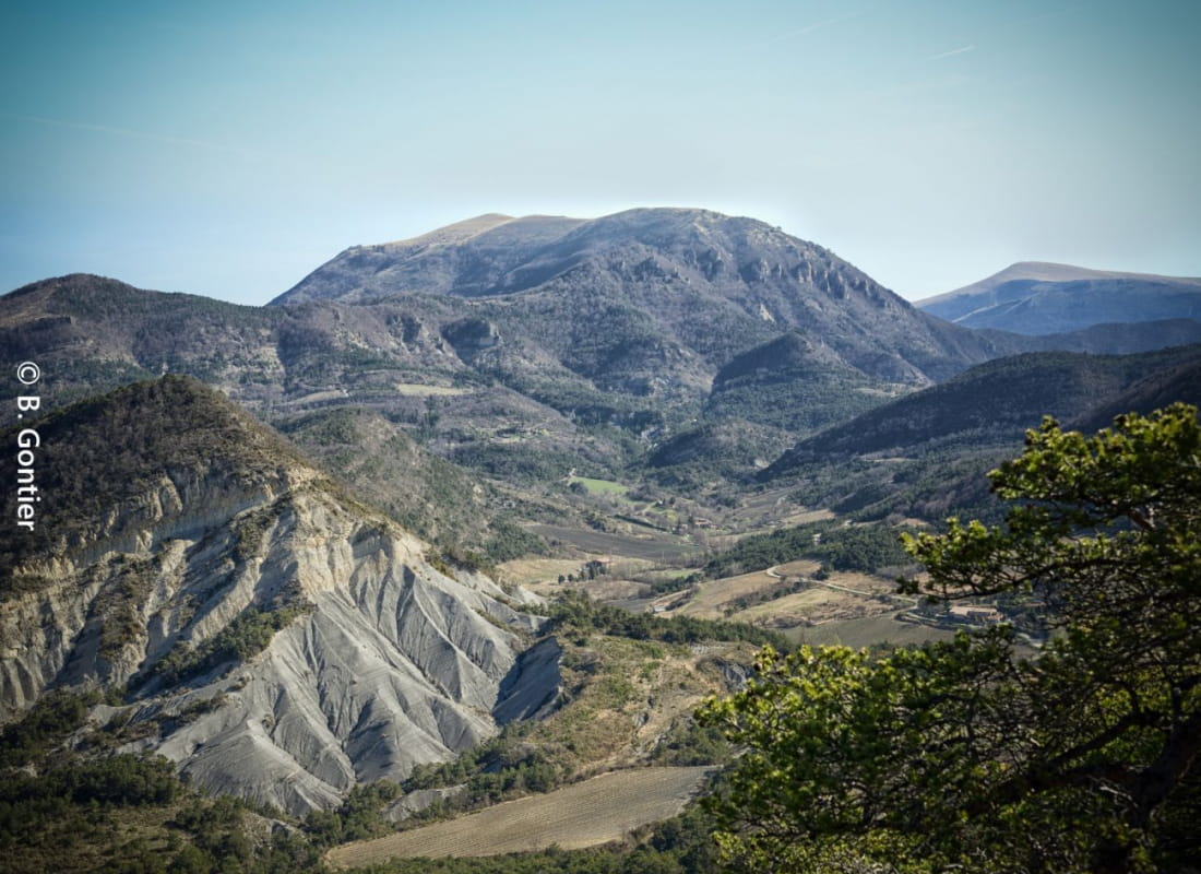
Suitable for experienced walkers, this loop takes you through breathtaking scenery to the rocky promontory of Cougoir, offering a remarkable view of the Drôme Provençale.
- Address26220 Teyssières
Drôme Tourisme cannot be held responsible for any problems encountered along the route.
Any problems encountered can be outlined here:
Author: Conseil Départemental de la Drôme - Apidae Tourisme
To show the map
0M
0M