Les Fayards de Chironne
Ajouter au carnet de voyage
- Distance2,9 km
- Duration1h15
- DifficultyVery easy
- Total altitude change+ 131 m
- Departure/arrivalChamaloc
- Route markingYes
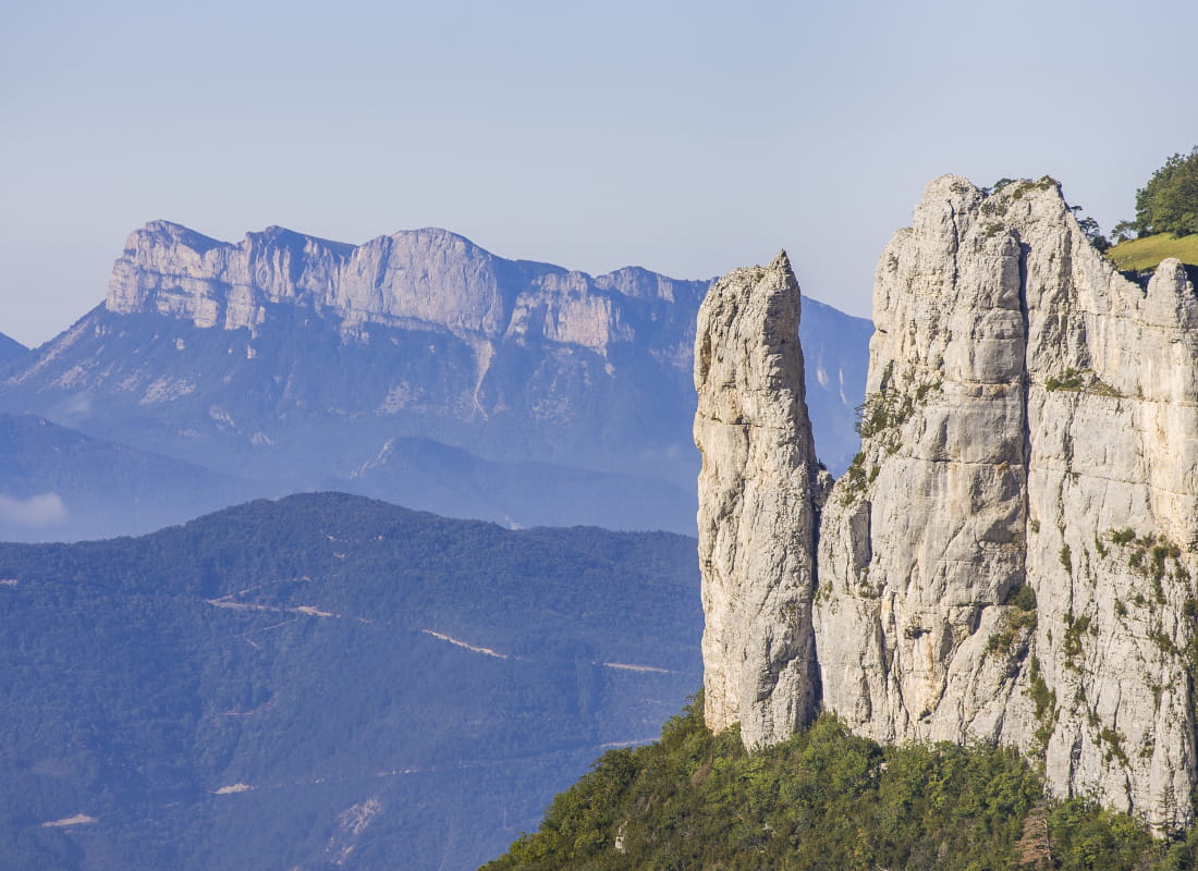
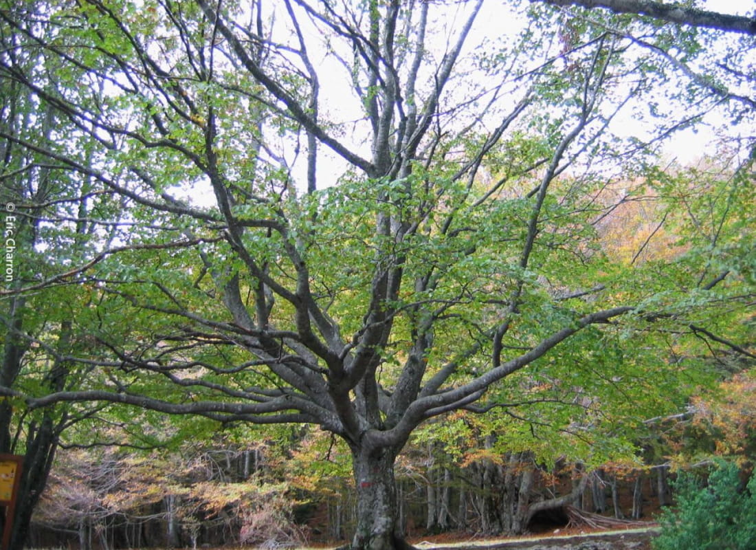
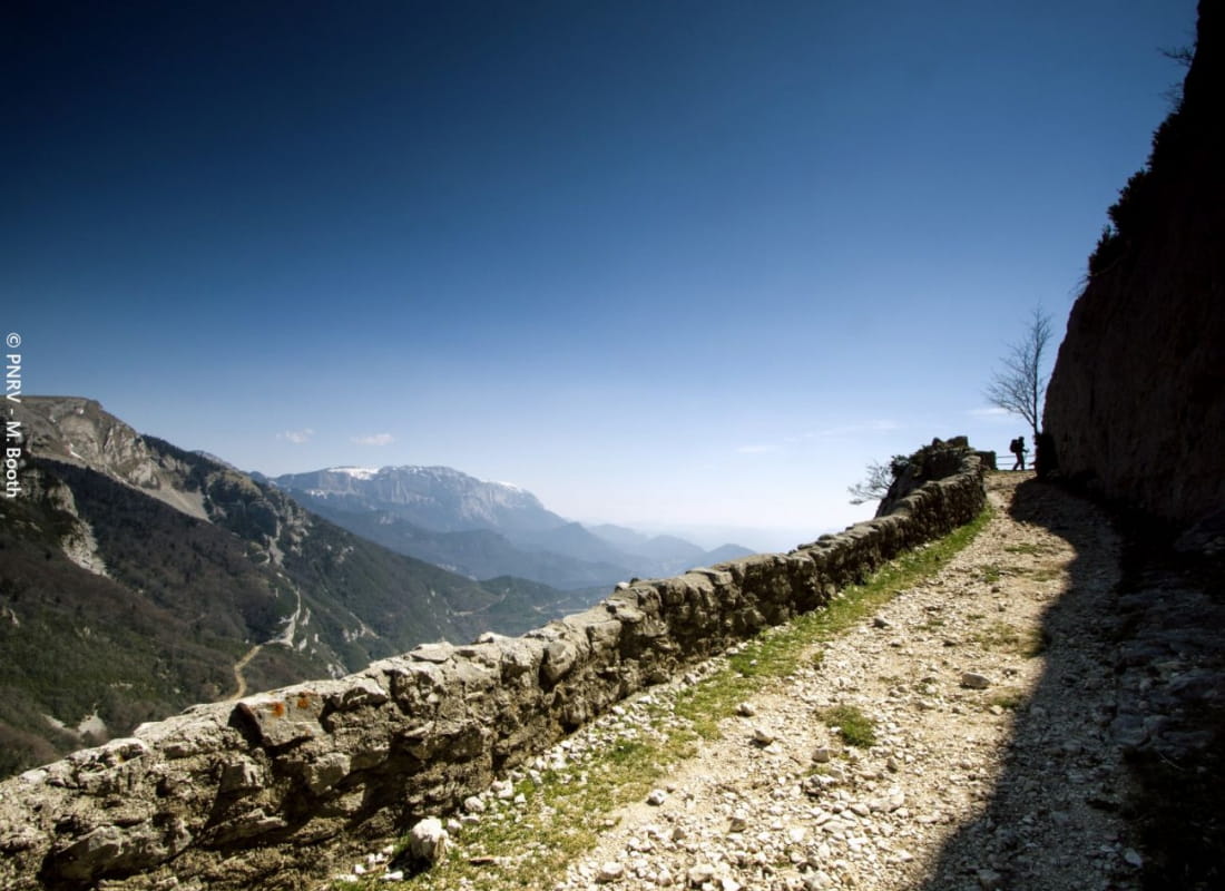
Families can access the aerial cliffs of the Vercors via the low-walled Roman road, while enjoying the shade of the majestic foliage of the remarkable beech trees, known here as "fayards".
- Address26150 Chamaloc
- Phone04 75 48 22 54
Our tips
- Details about route marking :
Balisage jaune (PR) et poteaux de signalétique directionnelle. - Map references :
TOP25 IGN 3237
Drôme Tourisme cannot be held responsible for any problems encountered along the route.
Any problems encountered can be outlined here:
Author: Conseil Départemental de la Drôme - Apidae Tourisme
To show the map
0M
0M