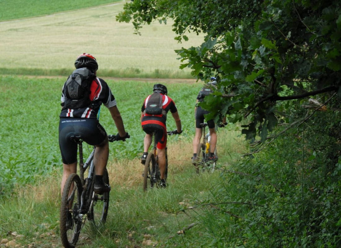
Mountainbike cycling trail N°4
Ajouter au carnet de voyage
- Distance8,6 km
- Duration1h30
- TypeCircular
- DifficultyVery easy
- Total altitude change+ 170 m
- Departure/arrivalHauterives
- Route markingYes
An amusing and fast trail along the banks of the river Galaure for those who love single-track. The slope down to Hauterives in the woods will give you thrills !
Ce parcours bénéficie d’un beau panorama sur Hauterives. Dès le départ, vous prendrez un maximum de plaisir avec ce petit sentier très ludique en sous-bois, le long de la Galaure. Après une montée un peu dure, une belle descente vous attend sur un chemin large et rapide.
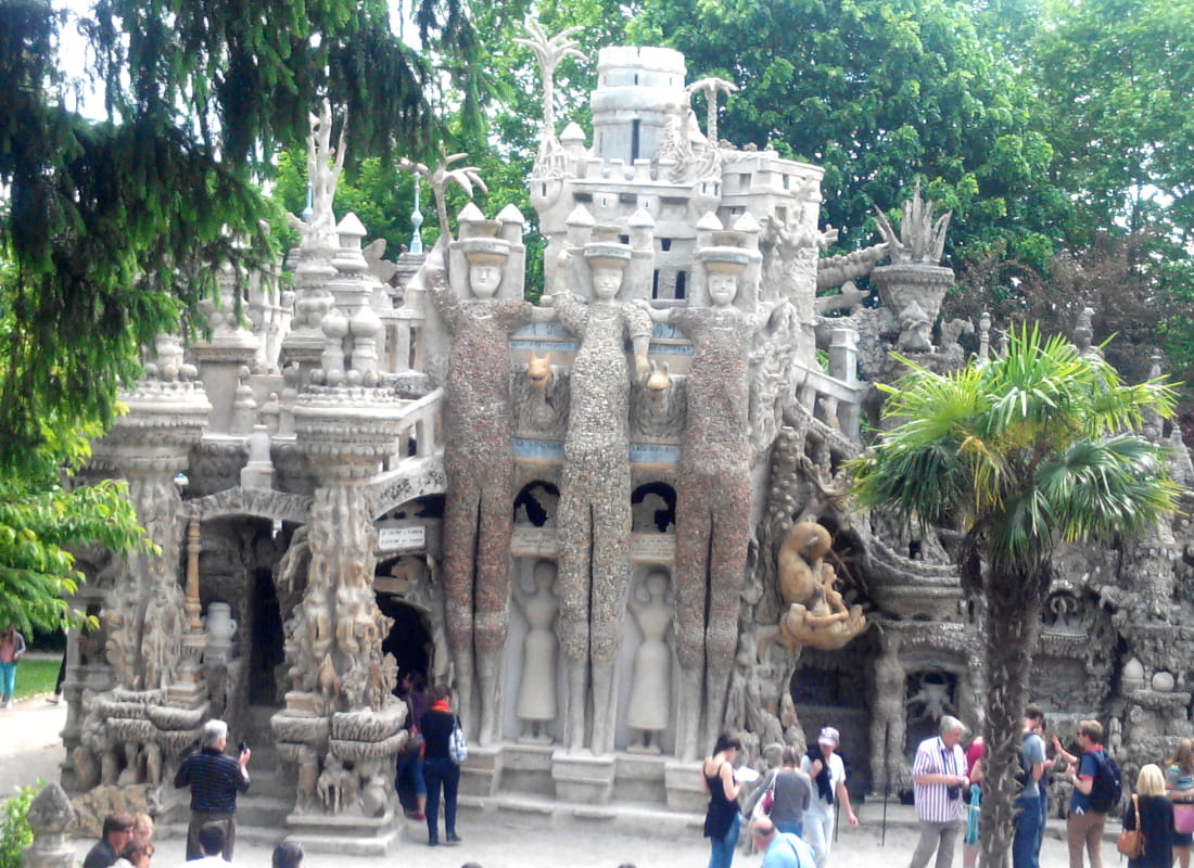
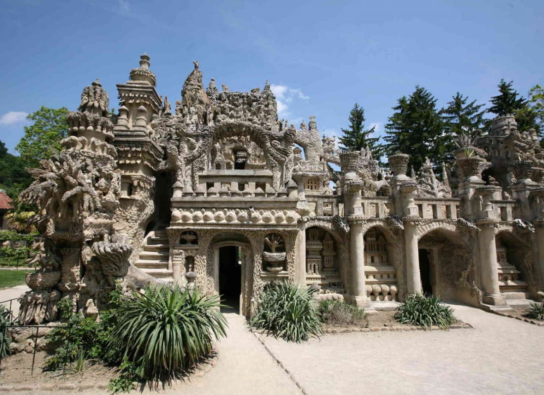
- AddressParking du palais idéal du facteur Cheval
26390 Hauterives - Phone04 75 23 45 3304 75 79 26 26
- Emailporte@dromardeche.fr
- WebsiteSee the website
Our tips
- Details about route marking :
Balisage FFC - Références topographiques :
Bons plans la Drôme - Map references :
Top 25 ign
Drôme Tourisme cannot be held responsible for any problems encountered along the route.
Any problems encountered can be outlined here:
Author: Conseil Départemental de la Drôme - Apidae Tourisme
To show the map
0M
0M