Mountainbike trail
Ajouter au carnet de voyage
- Distance16,7 km
- Duration2h30
- TypeCircular
- DifficultyModerate
- Total altitude change+ 350 m
- Departure/arrivalHauterives
- Route markingYes
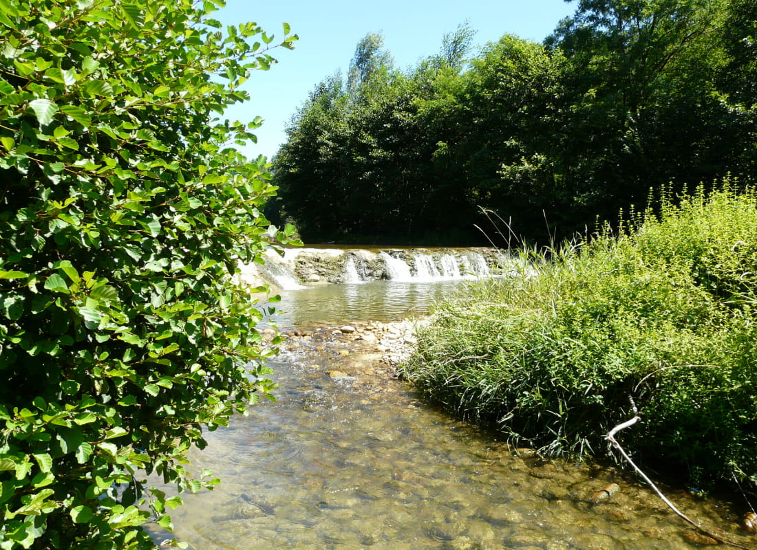
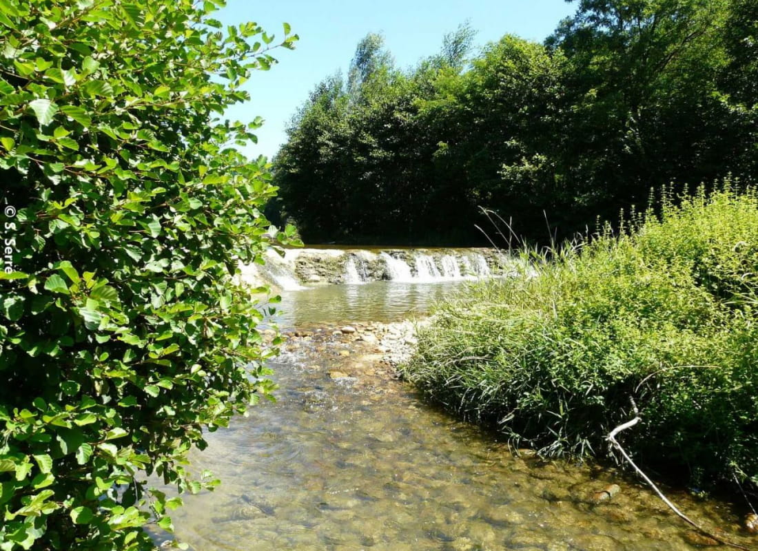
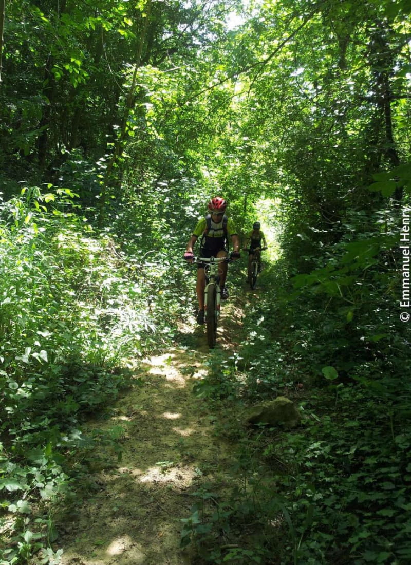
For the more confirmed enjoy this trail, especially for mountainbikers, along paths , single-track and in woodlands.
Le long chemin en sous-bois après Lens-Lestang est un vrai bonheur les jours d'été, pour prendre un peu de fraîcheur. La descente sur Hauterives ravira les amoureux de singles.
- AddressParking du palais idéal du facteur Cheval
26390 Hauterives - Phone04 75 23 45 3304 75 79 26 26
- Emailporte@dromardeche.fr
- WebsiteSee the website
Our tips
- Details about route marking :
Balisage FFC - Références topographiques :
Bons plans la Drôme - Map references :
Top 25 ign
Drôme Tourisme cannot be held responsible for any problems encountered along the route.
Any problems encountered can be outlined here:
Author: Conseil Départemental de la Drôme - Apidae Tourisme
To show the map
0M
0M