Rambling trail
Ajouter au carnet de voyage
- Distance7,5 km
- Duration1h52
- TypeCircular
- DifficultyModerate
- Total altitude change+ 95 m
- Departure/arrivalChâteauneuf-de-Galaure
- Route markingYes
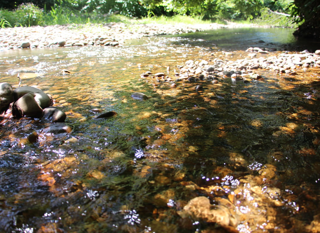
Starting at the foot of the hills, a lovely stroll along the riverside where you can discover the woodland areas along the banks and the Galaure Valley. This ramble is in the FFRP "Drôme des Collines" rambling guide.
A découvrir : Eglise de saint-bonnet de Galaure.
- AddressD51 Place des Cordeliers
26330 Châteauneuf-de-Galaure - Phone04 75 23 45 33
- Emailporte@dromardeche.fr
- WebsiteSee the website
Drôme Tourisme cannot be held responsible for any problems encountered along the route.
Any problems encountered can be outlined here:
Author: Conseil Départemental de la Drôme - Apidae Tourisme
To show the map
0M
0M