La Jarjatine
Ajouter au carnet de voyage

- Distance2,6 km
- Duration1h30
- TypeCircular
- DifficultyVery easy
- Total altitude change+ 60 m
- Departure/arrivalLus-la-Croix-Haute
- Route markingYes
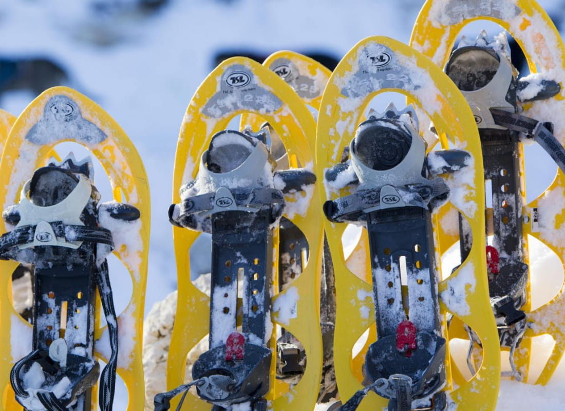
In the heart of the listed Jarjatte valley, at the foot of the Drôme's highest peak, the Rocher Rond 2453m, this walk is ideal for discovering snowshoeing with children, offering gentle snowshoeing in a high-mountain setting.
La boucle côtoie les pistes de ski de fond, merci de ne pas les encombrer et d'en respecter les traces.
- AddressParking du Maujas
La Jarjatte
26620 Lus-la-Croix-Haute - Phone04 92 58 51 85
- Emailluslacroixhaute@diois-tourisme.com
- WebsiteSee the website
Our tips
- Details about route marking :
Le sentier est balisé avec des panneaux raquette. - Difficult stretches :
Aucune difficulté. - Map references :
Top 25 IGN 3337
Drôme Tourisme cannot be held responsible for any problems encountered along the route.
Any problems encountered can be outlined here:
Author: Conseil Départemental de la Drôme - Apidae Tourisme
To show the map
0M
0M