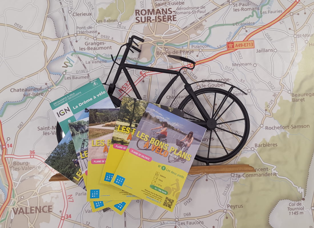
Au fil de l'eau
Ajouter au carnet de voyage
- Distance18,5 km
- Duration1h30
- TypeCircular
- DifficultyVery easy
- Total altitude change+ 72 m
- Departure/arrivalBourg-de-Péage
- Route markingYes
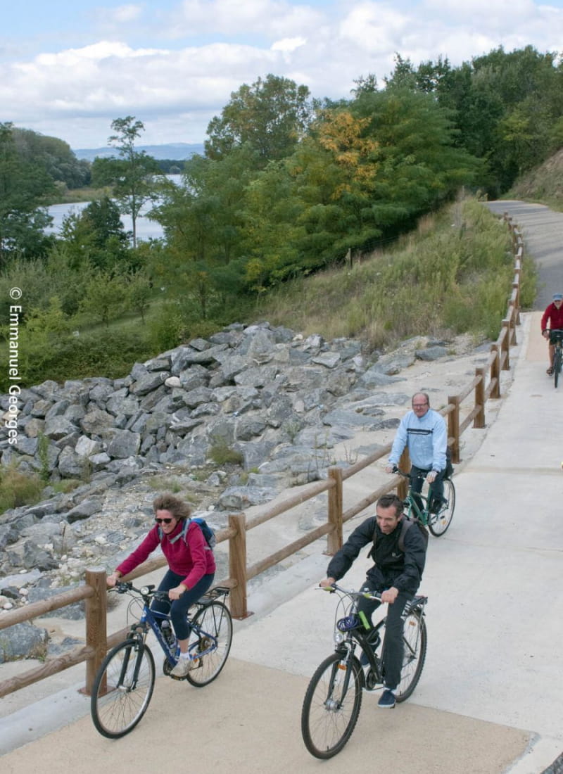
This 17 km bike ride is suitable for families. It starts by using the greenway along the Isère V63 and continues along streams and rivers, to reach Romans-sur-Isère along the Canal de la Martinette.
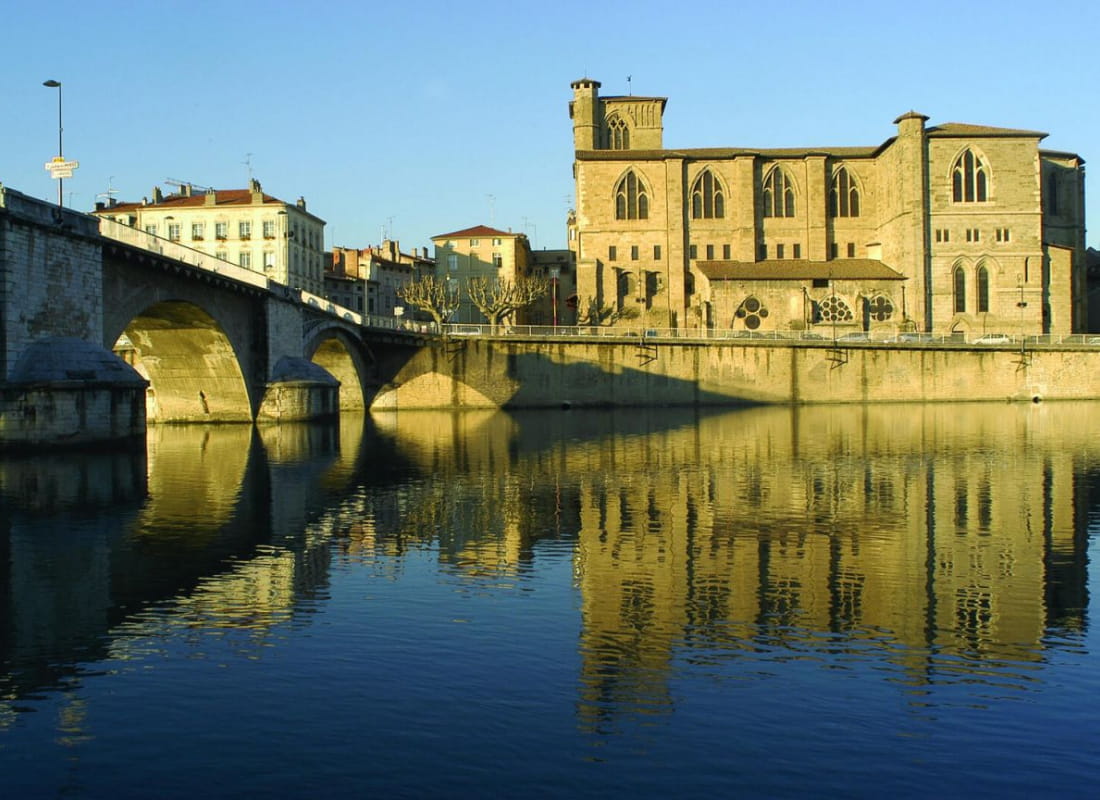
- AddressPont Vieux
26300 Bourg-de-Péage - Phone04 75 44 90 4004 75 02 28 72
- WebsiteSee the website
Drôme Tourisme cannot be held responsible for any problems encountered along the route.
Any problems encountered can be outlined here:
Author: Conseil Départemental de la Drôme - Apidae Tourisme
To show the map
0M
0M