La ronde des Serres
Ajouter au carnet de voyage
- Distance66,4 km
- Duration6h
- TypeCircular
- DifficultyVery difficult
- Total altitude change+ 1360 m
- Departure/arrivalAllan
- Route markingYes
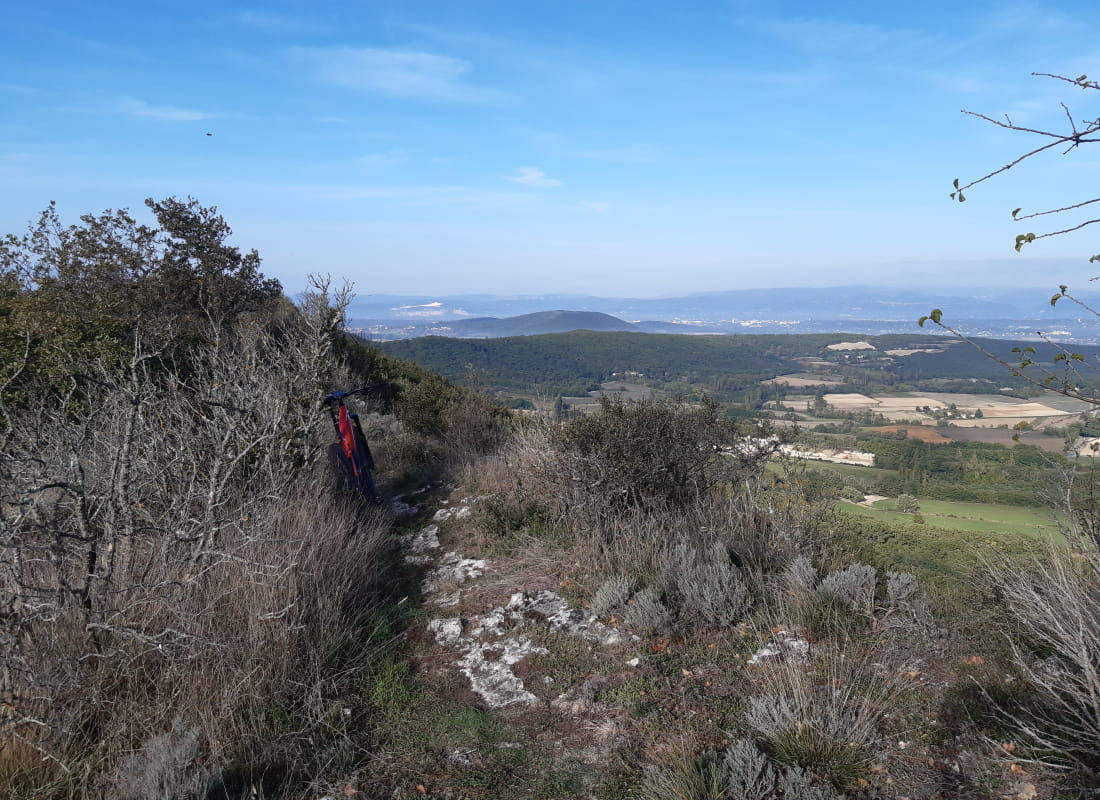
This long, black mountain bike circuit winds its way around the heights of numerous villages. It's an up-and-down, technical route with trails, paths and numerous viewpoints!
Un itinéraire phare du territoire mais réservé aux plus aguerris !
Au départ de plusieurs villages (Allan, Espeluche, La Touche, Rochefort-en-Valdaine ou Puygiron) il possède de nombreux passages techniques tant en montée qu'en descente.
- AddressVieux village
26780 Allan - Phone04 75 01 00 20
- Emailinfo@montelimar-tourisme.com
- WebsiteSee the website
Our tips
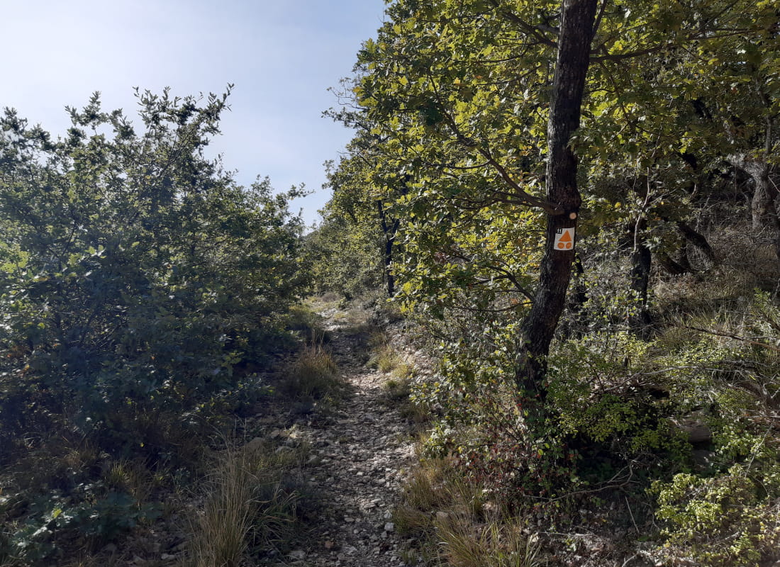
- Details about route marking :
Balisage noir n°11 - Difficult stretches :
Plusieurs passages techniques.
Drôme Tourisme cannot be held responsible for any problems encountered along the route.
Any problems encountered can be outlined here:
Author: Conseil Départemental de la Drôme - Apidae Tourisme
To show the map
0M
0M