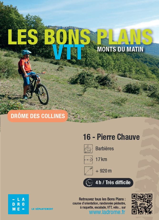
Pierre Chauve
Ajouter au carnet de voyage
- Distance17 km
- Duration4h
- TypeCircular
- DifficultyVery difficult
- Total altitude change+ 920 m
- Departure/arrivalBarbières
- Route markingYes
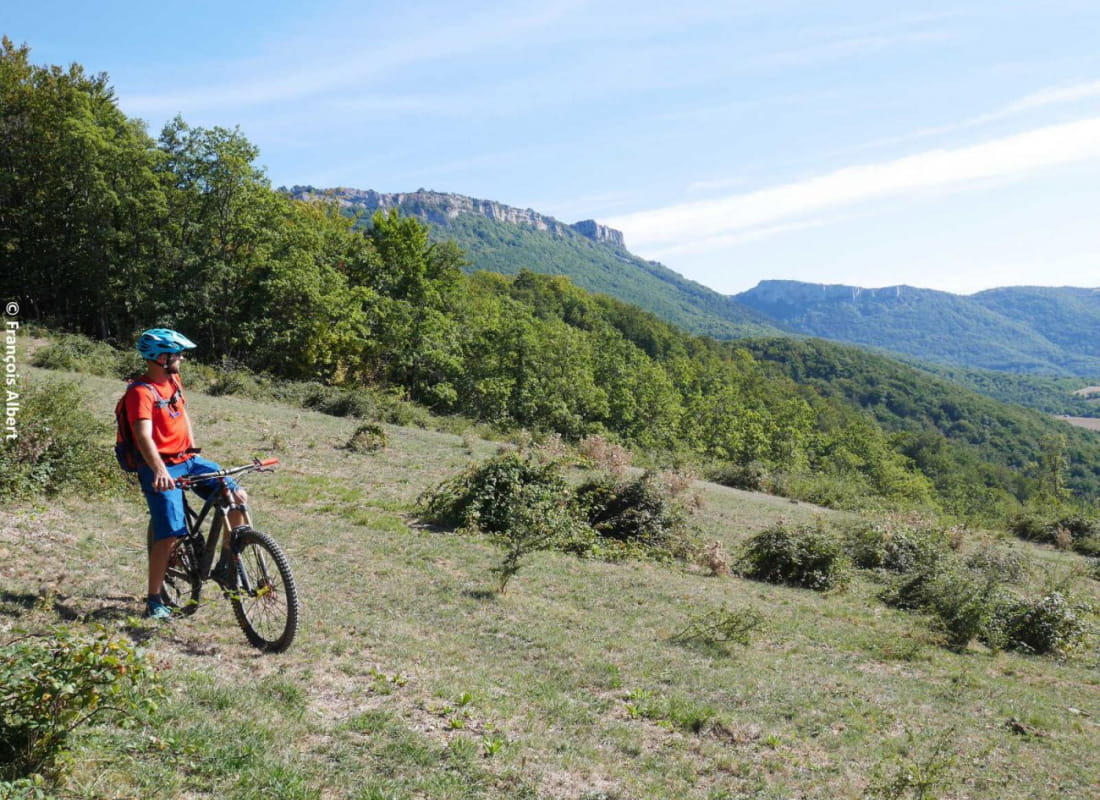
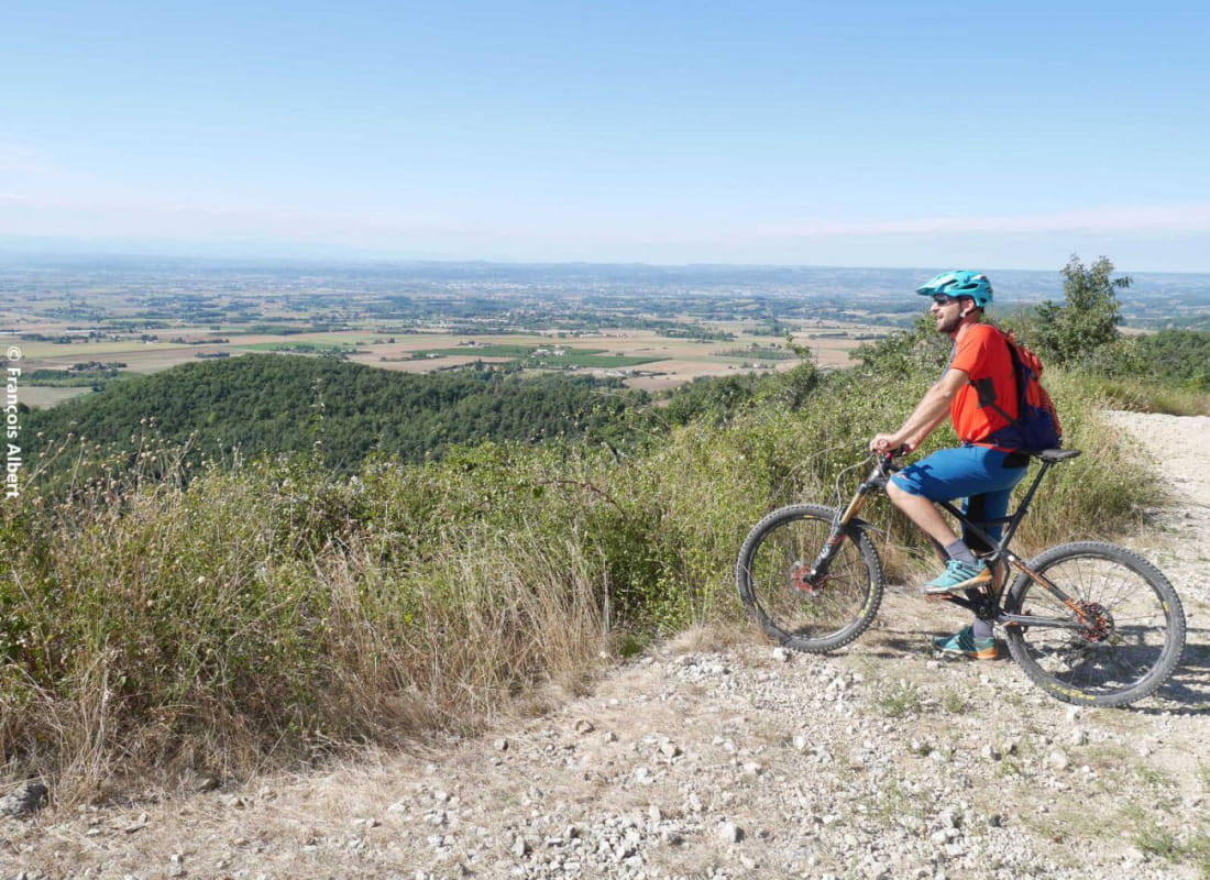
A lovely shady route with plenty of elevation gain and panoramic views. You'll come across the Col de Tourniol road, a few pushes and technical descents.
- AddressParking le Pertuis
26300 Barbières - Phone04 75 44 90 4004 75 02 28 72
- WebsiteSee the website
Our tips
- Details about route marking :
Suivre 16 sur triangle jaune - Map references :
Partir avec la carte IGN 3136SB est vivement conseillé.
Drôme Tourisme cannot be held responsible for any problems encountered along the route.
Any problems encountered can be outlined here:
Author: Conseil Départemental de la Drôme - Apidae Tourisme
To show the map
0M
0M