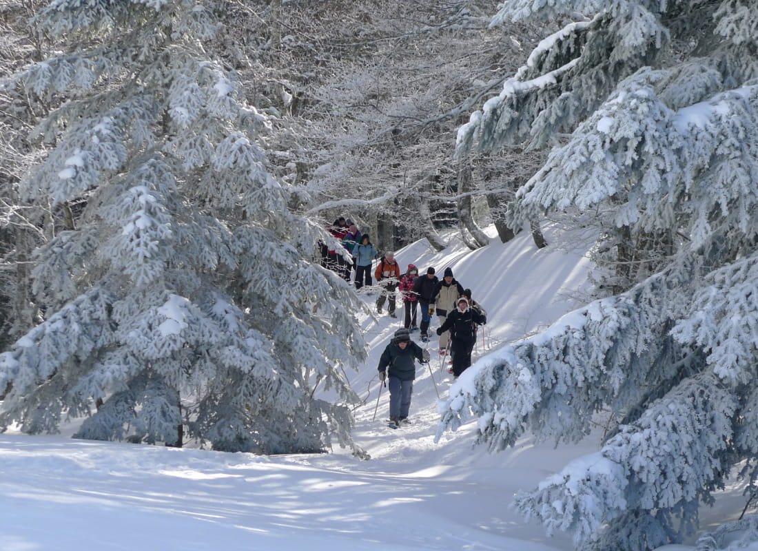
Le pré de la Lèbre
Ajouter au carnet de voyage
- Distance4 km
- Duration2h30
- TypeCircular
- DifficultyModerate
- Total altitude change+ 280 m
- Departure/arrivalLus-la-Croix-Haute
- Route markingYes
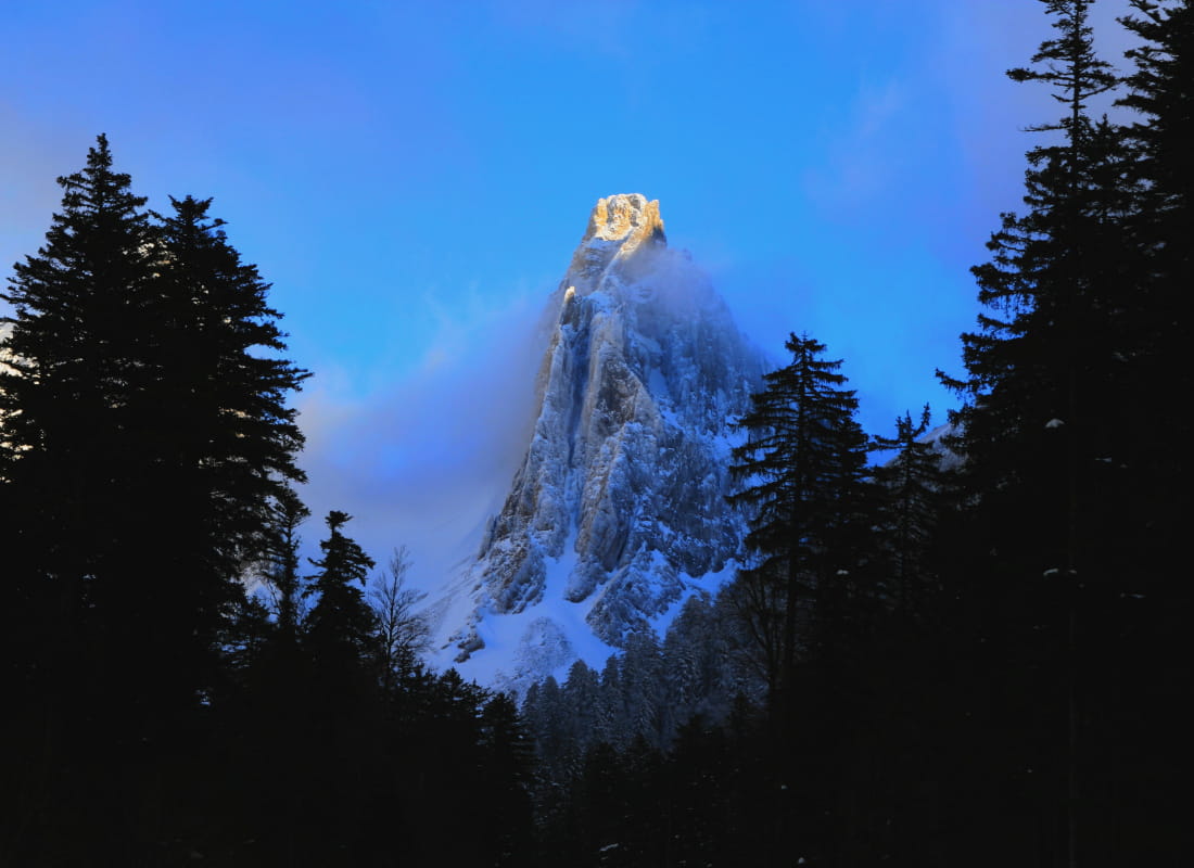
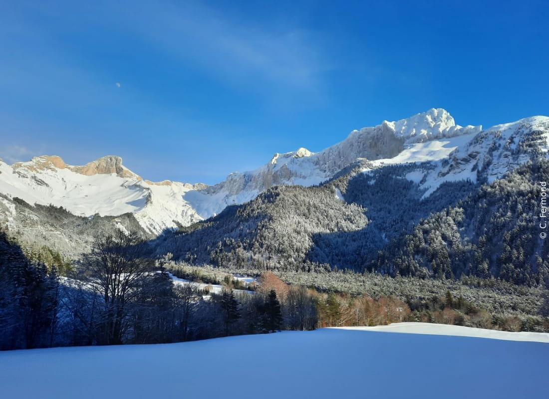
This forest itinerary winds around the resort's slopes, while remaining hidden in a remarkable beech-fir forest that opens up from time to time to views of the Col des Aiguilles (2161m).
Prudence, la boucle traverse les pistes de ski alpin, merci de ne pas les encombrer.
- AddressStation Lus-La Jarjatte
La Jarjatte
26620 Lus-la-Croix-Haute - Phone04 92 58 51 85
- Emailluslacroixhaute@diois-tourisme.com
- WebsiteSee the website
Our tips
- Details about route marking :
Le sentier est balisé avec des panneaux raquette. - Difficult stretches :
Aucune difficulté technique. - Map references :
TOP 25 IGN 3337
Drôme Tourisme cannot be held responsible for any problems encountered along the route.
Any problems encountered can be outlined here:
Author: Conseil Départemental de la Drôme - Apidae Tourisme
To show the map
0M
0M