La Trans'Marsannaise
Ajouter au carnet de voyage

- Distance41,8 km
- Duration4h
- TypeCircular
- DifficultyVery difficult
- Total altitude change+ 1220 m
- Departure/arrivalMarsanne
- Route markingYes
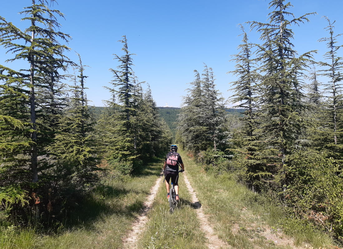
An emblematic circuit in the Marsanne forest, where everything comes together: distance, elevation gain, piloting, technical trails and numerous viewpoints along the way!
Regroupement de tous les circuits au coeur de la forêt de Marsanne, ce parcours est réservé aux plus aguerris et les vttistes en quête de sensations ! Des points de vue de toutes part : plaine de Marsanne, vallée du Rhône, Diois et même la vallée de la Drôme au loin !
- AddressRue Jean Moulin
26740 Marsanne - Phone04 75 01 00 20
- Emailinfo@montelimar-tourisme.com
- WebsiteSee the website
Our tips
- Details about route marking :
Balisage noir n°22
Drôme Tourisme cannot be held responsible for any problems encountered along the route.
Any problems encountered can be outlined here:
Author: Conseil Départemental de la Drôme - Apidae Tourisme
To show the map
0M
0M