De rives en plaine
Ajouter au carnet de voyage

- Distance20 km
- Duration2h
- TypeCircular
- DifficultyModerate
- Total altitude change+ 240 m
- Departure/arrivalSaint-Gervais-sur-Roubion
- Route markingYes
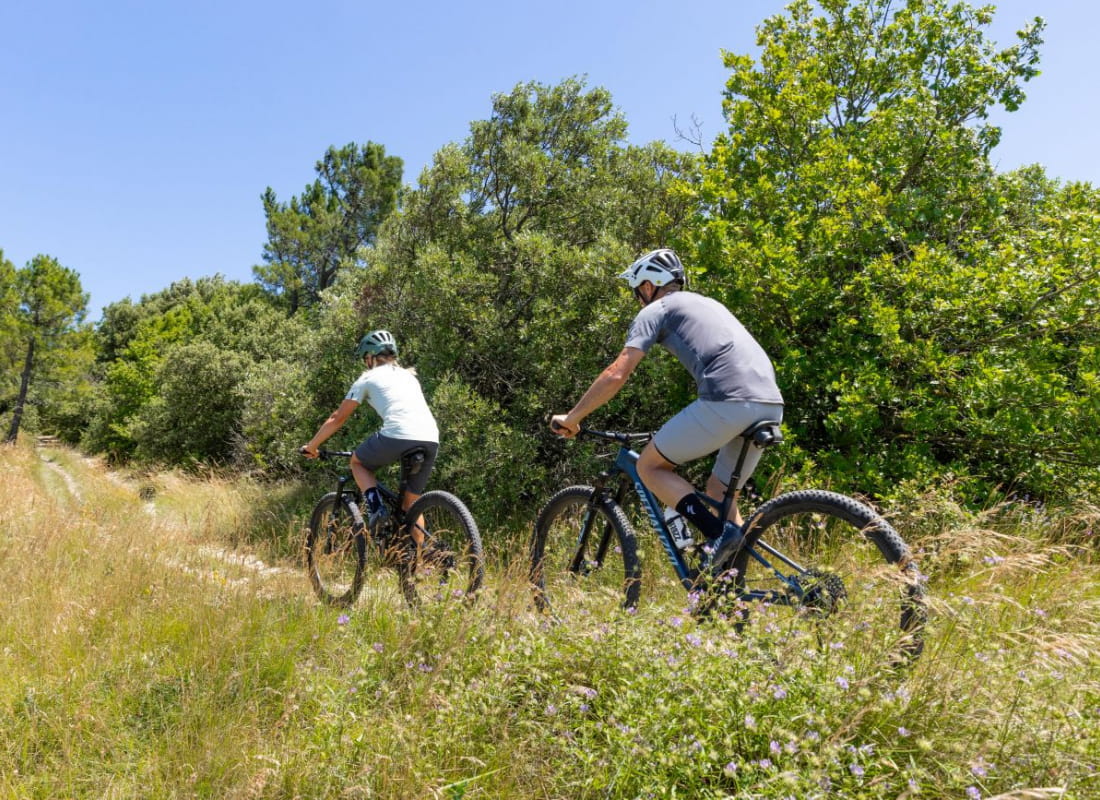
Between ramières and small ridges, this accessible, family-friendly itinerary runs along the banks of the Roubion and through the plain of the villages of Saint-Gervais-sur-Roubion and Charols.
L'itinéraire est adapté aux VTT comme aux gravels.
Au départ de Saint-Gervais-sur-Roubion, il peut également être pris en cours de route à Charols. Entre ramières du Roubion et sentier en crête, ce court itinéraire possède une grande variété de paysages.
- AddressPlace du Souvenir
26160 Saint-Gervais-sur-Roubion - Phone04 75 01 00 20
- Emailinfo@montelimar-tourisme.com
- WebsiteSee the website
Our tips
- Details about route marking :
Balisage blue n°24
Drôme Tourisme cannot be held responsible for any problems encountered along the route.
Any problems encountered can be outlined here:
Author: Conseil Départemental de la Drôme - Apidae Tourisme
To show the map
0M
0M