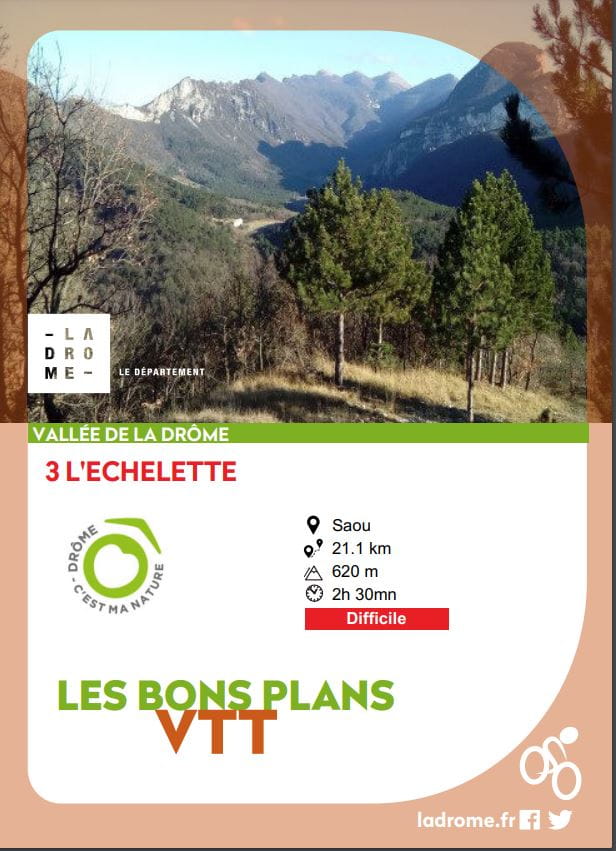
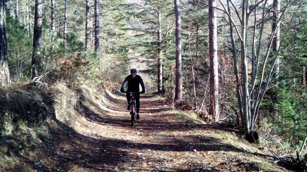
L'Echelette
Ajouter au carnet de voyage
- Distance21,8 km
- Duration2h30
- TypeCircular
- DifficultyDifficult
- Total altitude change+ 620 m
- Departure/arrivalSaou
- Route markingYes
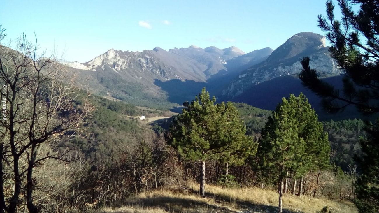
A high-flying route, with a short portage on the ascent to the Pas de l'Echelette. Enjoy panoramic views over Crest, the Drôme valley and the Trois Becs!
La forêt de Saoû, acquise au titre de la politique des Espaces Naturels
Sensibles, est la plus vaste propriété du Département (2500 ha). « Site classé » dès 1942, elle est aujourd’hui gérée selon les principes du développement durable en concertation avec les acteurs locaux.
- AddressParking à l’entrée du village sur la D538 depuis Crest
26400 Saou - Phone04 75 63 10 88
- Emailotvaldedrome@gmail.com
- WebsiteSee the website
Drôme Tourisme cannot be held responsible for any problems encountered along the route.
Any problems encountered can be outlined here:
Author: Conseil Départemental de la Drôme - Apidae Tourisme
To show the map
0M
0M