Maupas
Ajouter au carnet de voyage

- Distance6,8 km
- Duration2h45
- DifficultyModerate
- Total altitude change+ 250 m
- Departure/arrivalBouvante
- Route markingYes
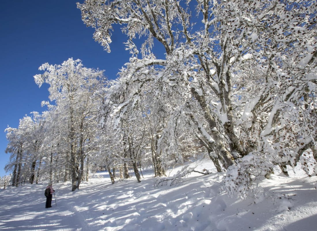
Around the Sacha mountain, this snowshoe hike reveals two faces of the Vercors landscape. Forest atmosphere at Col de Carri, a more open environment where the view extends over the Combe de Loscence to Col de Maupas.
- Address26190 Bouvante
- Emailstations@ladrome.fr
- WebsiteSee the website
Drôme Tourisme cannot be held responsible for any problems encountered along the route.
Any problems encountered can be outlined here:
Author: Conseil Départemental de la Drôme - Apidae Tourisme
To show the map
0M
0M