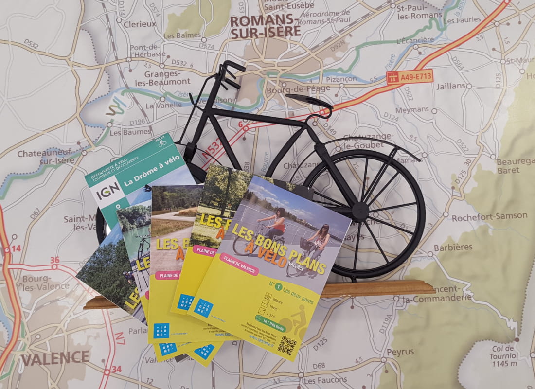
La Drôme fleuve et rivières
Ajouter au carnet de voyage
- Distance165,3 km
- Duration8h
- TypeCircular
- DifficultyDifficult
- Total altitude change+ 1015 m
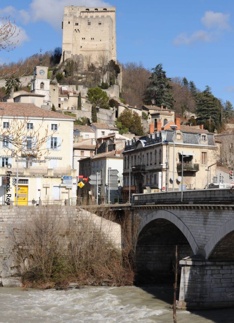
- Departure/arrivalCrest
- Route markingYes
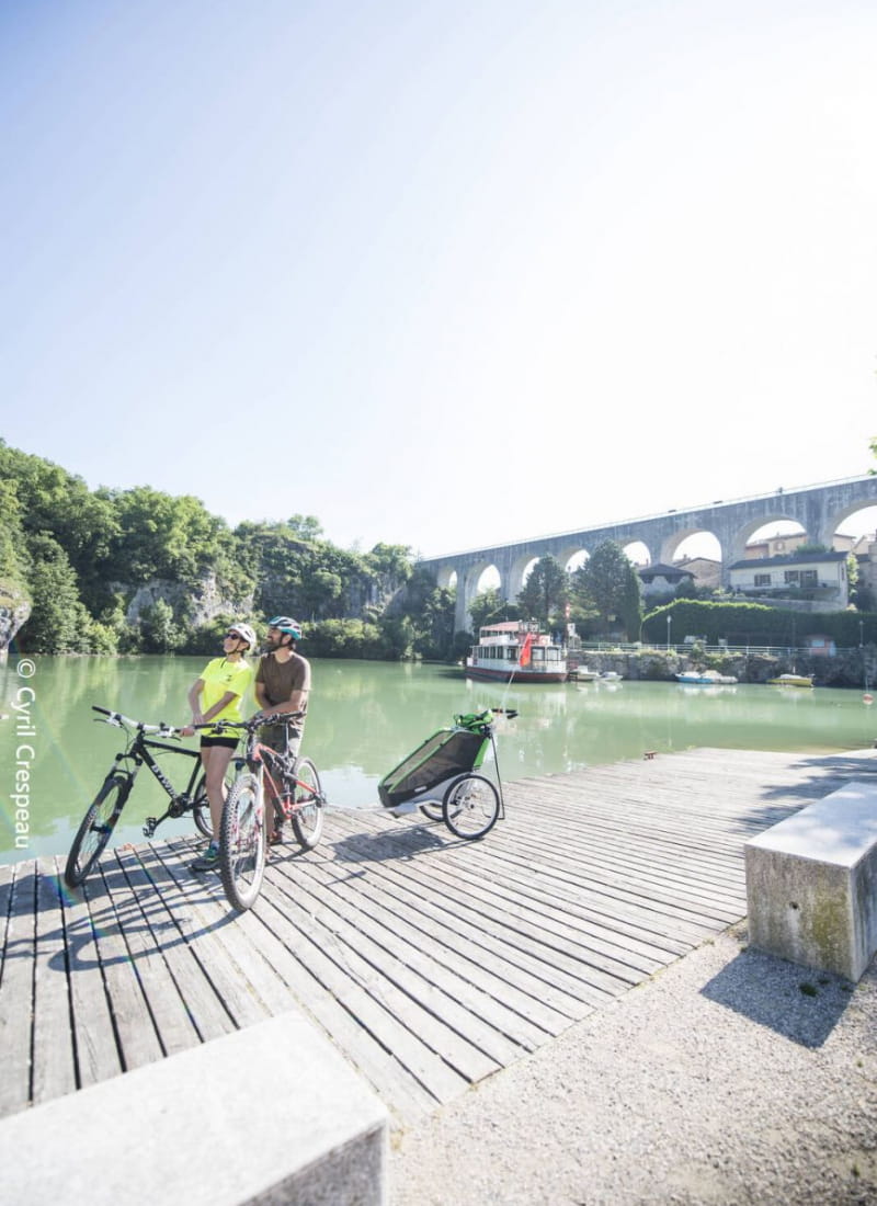
This multi-day itinerary takes you along the Rhône and the main rivers of the Drôme. From the Raye to the Monts du Matin, you'll discover the Vercors foothills, with their rich natural heritage.
- AddressOffice de Tourisme de Valence
11 Boulevard Bancel
26400 Crest - Phone04 75 44 90 4004 75 02 28 72
- WebsiteSee the website
Drôme Tourisme cannot be held responsible for any problems encountered along the route.
Any problems encountered can be outlined here:
Author: Conseil Départemental de la Drôme - Apidae Tourisme
To show the map
0M
0M