Tourtre
Ajouter au carnet de voyage
- Distance10,4 km
- Duration1h15
- DifficultyModerate
- Total altitude change+ 260 m
- Departure/arrivalSaint-Martin-en-Vercors
- Route markingYes
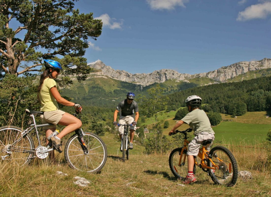
At the foot of the Roche Rousse cliffs, this route leads to the source of the Adouin, to the hamlet of Tourtre, then to the sandpit. The return journey offers fine mountain views.
- Address26420 Saint-Martin-en-Vercors
Drôme Tourisme cannot be held responsible for any problems encountered along the route.
Any problems encountered can be outlined here:
Author: Conseil Départemental de la Drôme - Apidae Tourisme
To show the map
0M
0M