Die Luc Châtillon
Ajouter au carnet de voyage
- Distance44,7 km
- Duration3h
- TypeCircular
- DifficultyDifficult
- Total altitude change+ 608 m
- Departure/arrivalDie
- Route markingYes
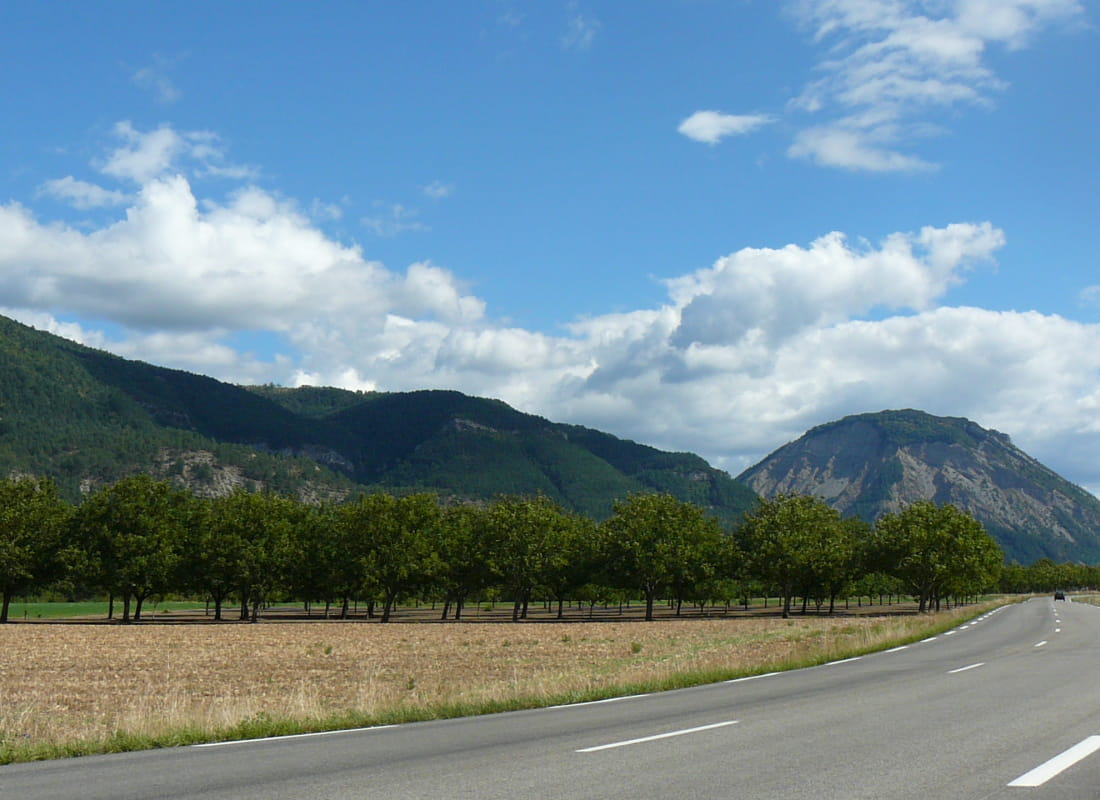
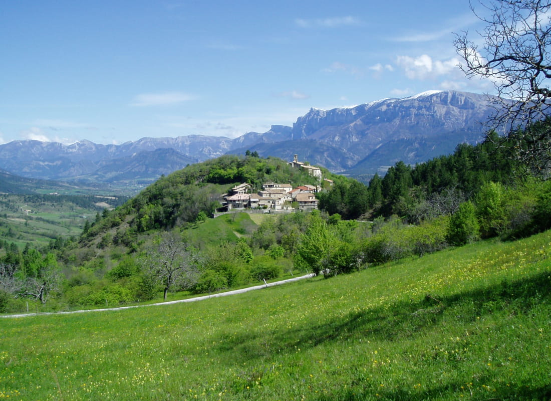
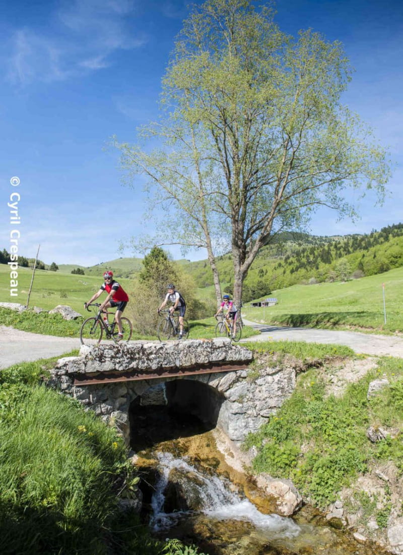
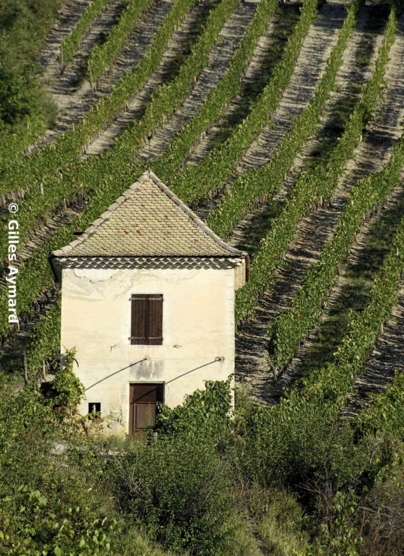
A sparkling 43km circuit, like the Clairette for which the region is famous. This progressive loop takes you to the heart of the small plots of vines, spread out on the hillsides at the foot of the impressive Glandasse cliffs.
- AddressParking de Meyrosse
26150 Die - Phone04 75 22 03 03
- Emailcontact@diois-tourisme.com
- WebsiteSee the website
Our tips
- Map references :
3237OT et 3238OT
Drôme Tourisme cannot be held responsible for any problems encountered along the route.
Any problems encountered can be outlined here:
Author: Conseil Départemental de la Drôme - Apidae Tourisme
To show the map
0M
0M