Aux sources de la Drôme
Ajouter au carnet de voyage
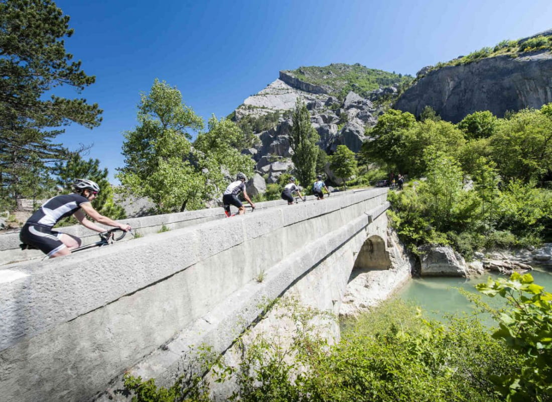
- Distance54,6 km
- Duration4h
- TypeCircular
- DifficultyDifficult
- Total altitude change+ 893 m
- Departure/arrivalLuc-en-Diois
- Route markingYes
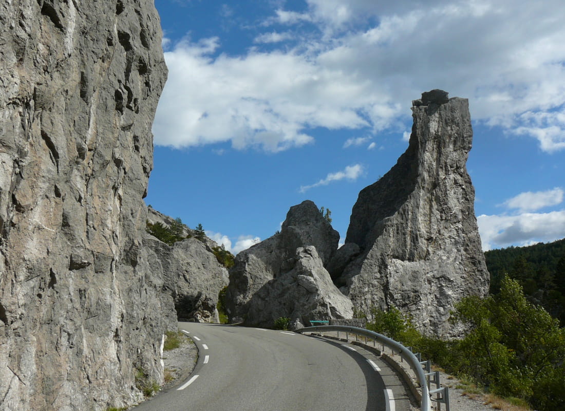
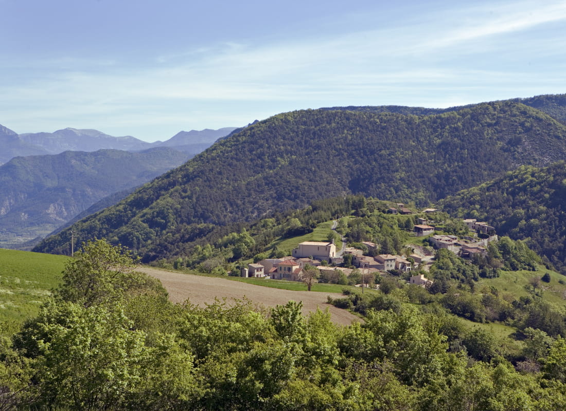
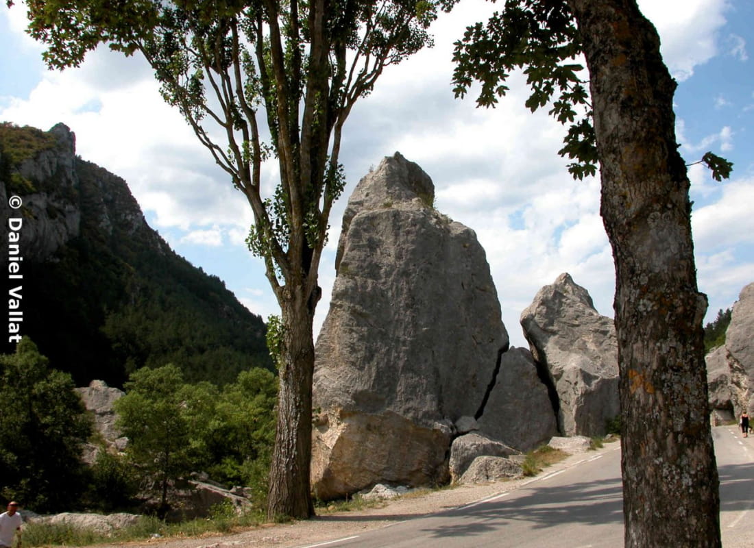
This 53km loop winds its way up Europe's last wild river. With its 3 low-altitude passes, already under the Provence sun, it's an ideal early-season warm-up. Start in the heart of the rocky chaos of Claps de Luc.
- AddressOffice de Tourisme
26310 Luc-en-Diois - Phone04 75 22 03 03
- Emailcontact@diois-tourisme.com
- WebsiteSee the website
Our tips
- Map references :
TOP 25 IGN 3238
Drôme Tourisme cannot be held responsible for any problems encountered along the route.
Any problems encountered can be outlined here:
Author: Conseil Départemental de la Drôme - Apidae Tourisme
To show the map
0M
0M