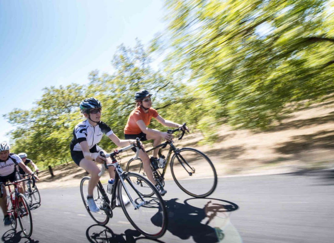
La Drômoise
Ajouter au carnet de voyage
- Distance146,9 km
- Duration8h
- TypeCircular
- DifficultyVery difficult
- Total altitude change+ 2623 m
- Departure/arrivalDie
- Route markingYes
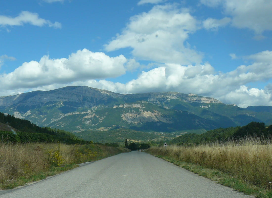
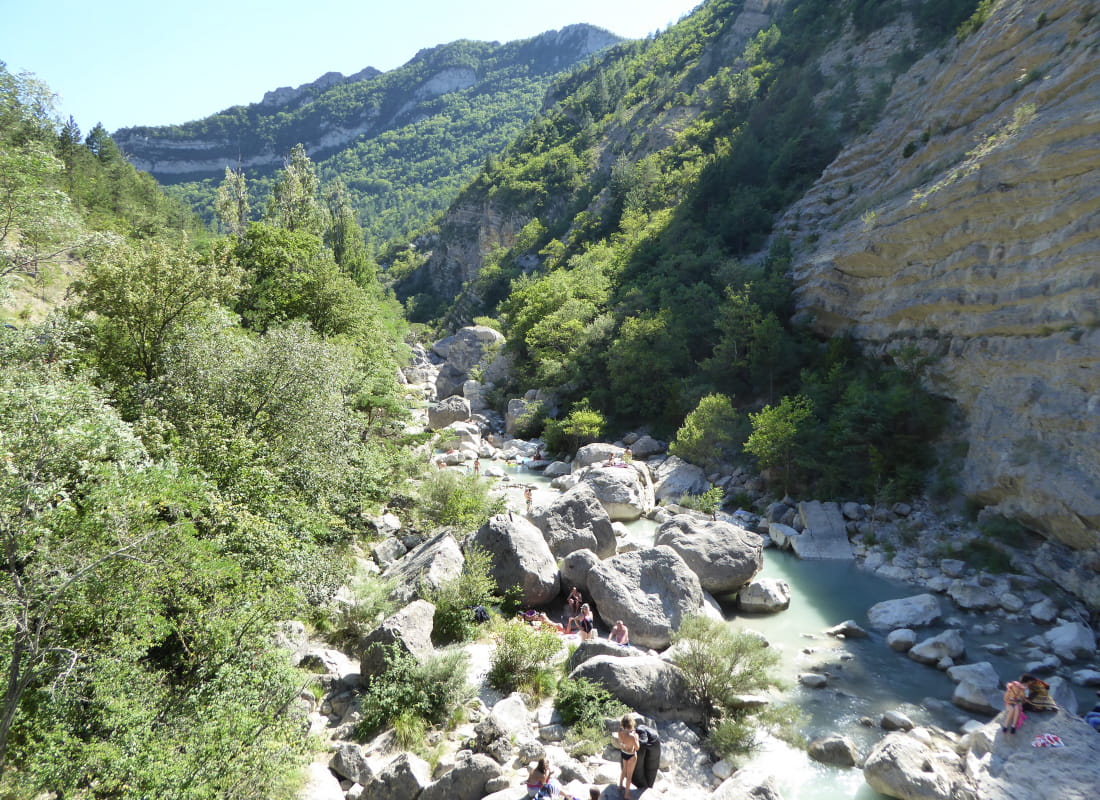
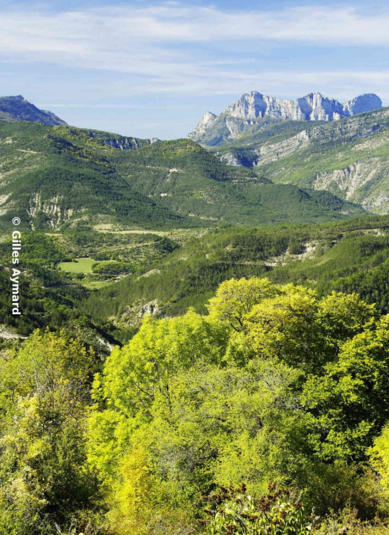
A sporting course of 147km and 2623 m of ascent. Follow in the footsteps of the athletes who compete every year in the La Drômoise cyclo-sportive race, between the Vercors and Provence and their little hilltop villages.
- AddressParking de Meyrosse
26150 Die - Phone04 75 22 03 03
- Emailcontact@diois-tourisme.com
- WebsiteSee the website
Our tips
- Map references :
TOP 25 IGN 3237 OT
Drôme Tourisme cannot be held responsible for any problems encountered along the route.
Any problems encountered can be outlined here:
Author: Conseil Départemental de la Drôme - Apidae Tourisme
To show the map
0M
0M