Entre lavandes et châtaigniers
Ajouter au carnet de voyage
- Distance10,3 km
- Duration1h15
- TypeCircular
- DifficultyModerate
- Total altitude change+ 240 m
- Departure/arrivalDieulefit
- Route markingYes
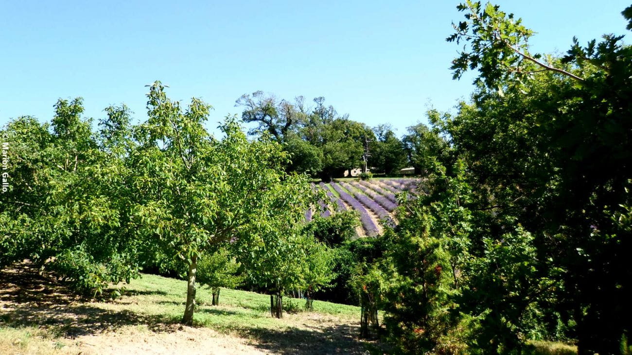
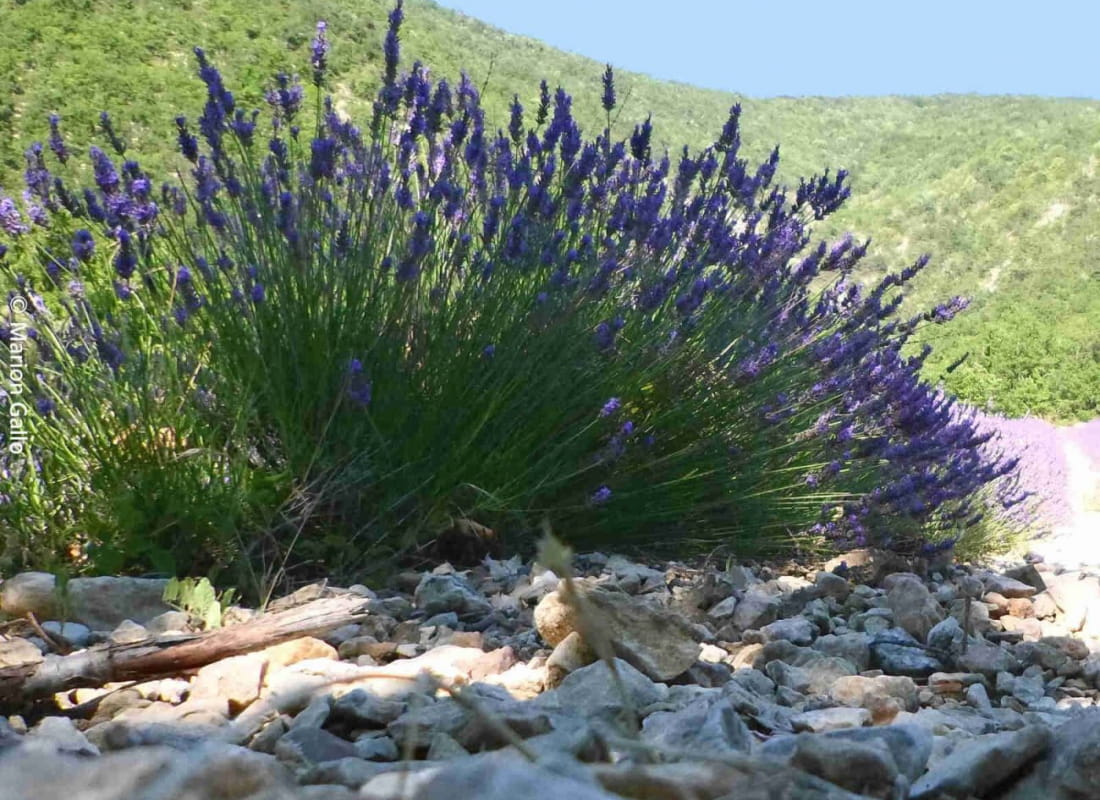
Lavender, pine forest, chestnut trees, a stone hamlet and a breathtaking view of the La Lance mountain... So many landscapes and panoramas to enjoy on this easy walk.
- AddressPlace de la Gare
26220 Dieulefit - Phone04 75 46 42 49
- WebsiteSee the website
Our tips
- Difficult stretches :
Suivre n°9
Drôme Tourisme cannot be held responsible for any problems encountered along the route.
Any problems encountered can be outlined here:
Author: Conseil Départemental de la Drôme - Apidae Tourisme
To show the map
0M
0M