A la découverte des paysages de la Motte
- Distance6,5 km
- Duration2h8
- DifficultyModerate
- Total altitude change+ 228 m
- Departure/arrivalLa Motte-Fanjas
- Route markingYes
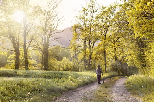
A two-hour walk through the fields and forests around the motte-fanjas.
- Address26190 La Motte-Fanjas
Drôme Tourisme cannot be held responsible for any problems encountered along the route.
Any problems encountered can be outlined here:
Author: Conseil Départemental de la Drôme - Apidae Tourisme
To show the map
0M
0M