Le sentier architecture, paysages et patrimoine
Ajouter au carnet de voyage
- Distance6,9 km
- Duration2h30
- TypeCircular
- DifficultyModerate
- Total altitude change+ 279 m
- Departure/arrivalLus-la-Croix-Haute
- Route markingYes
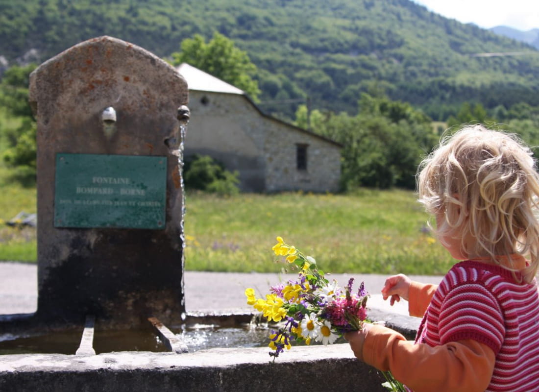
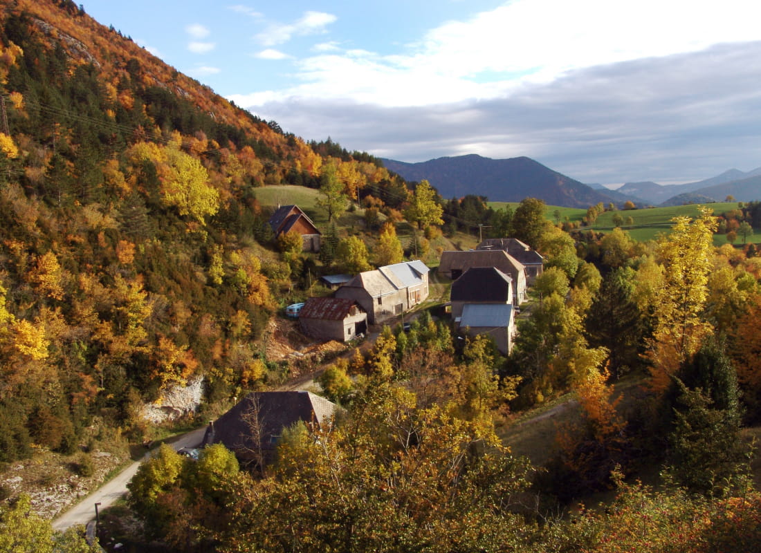
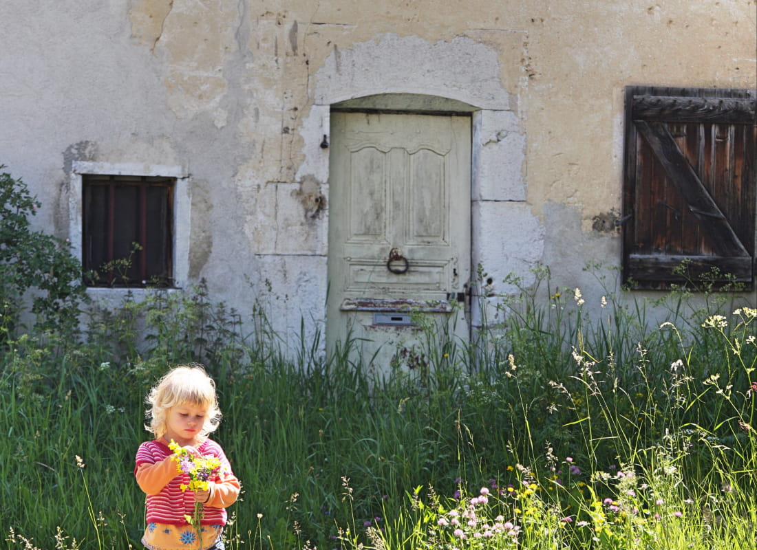
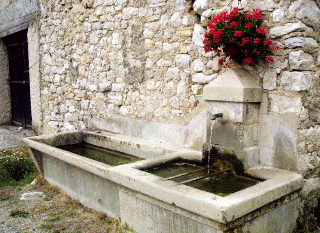
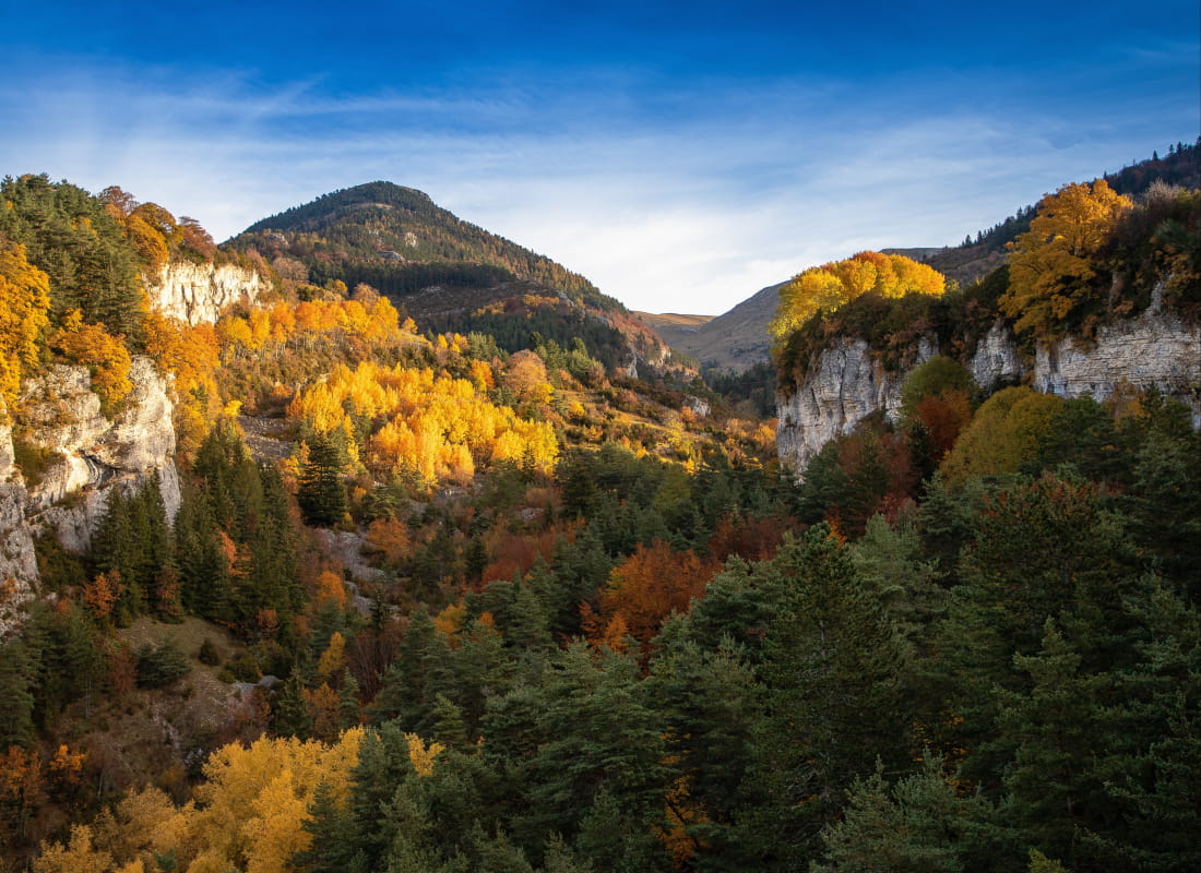
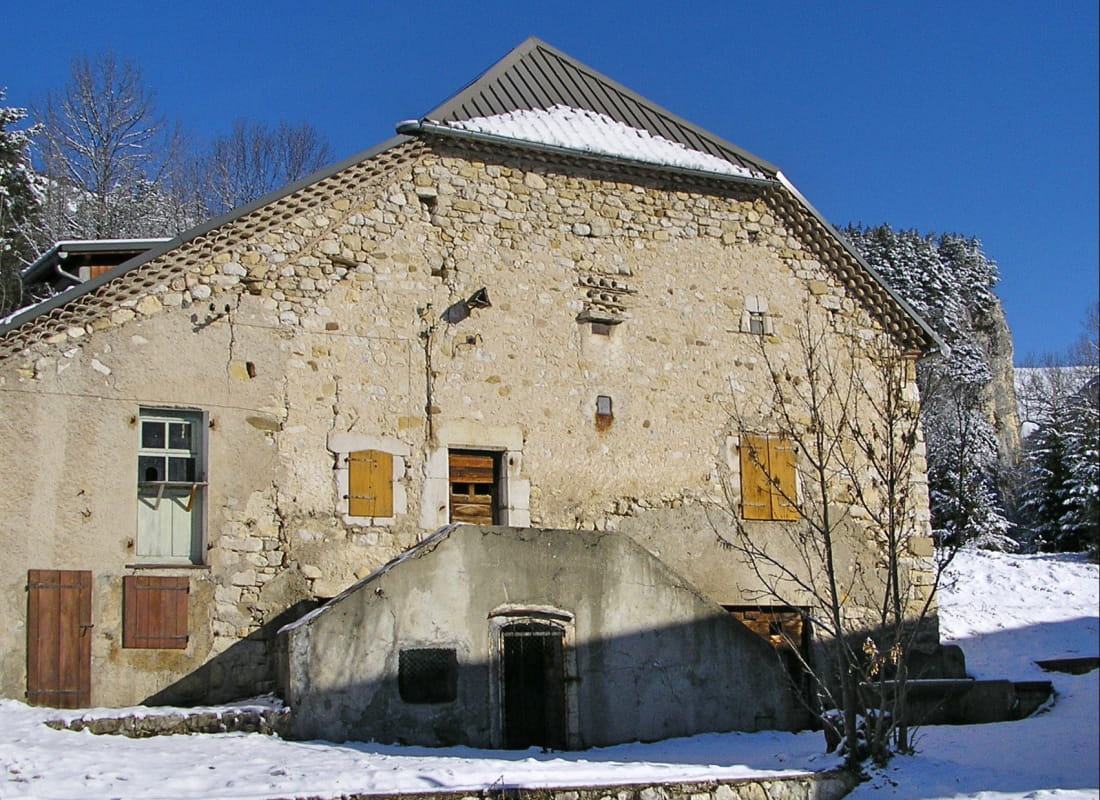
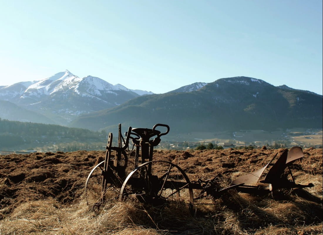
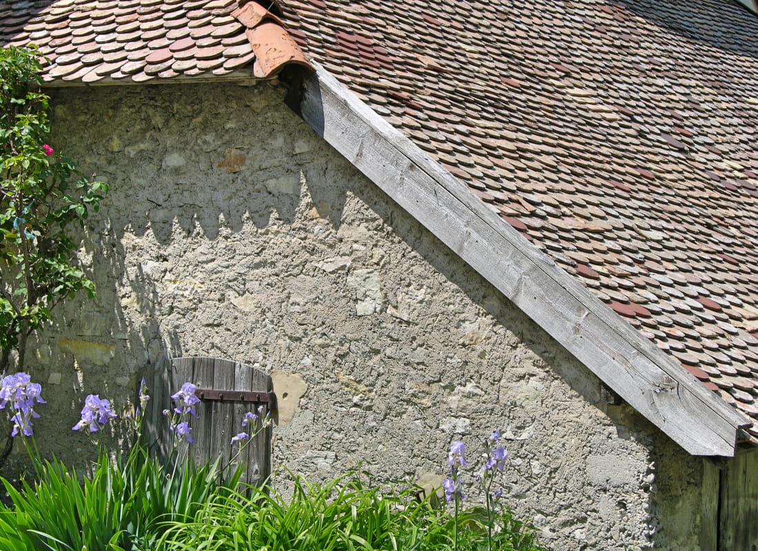
Immerse yourself in the past of this rural mountain valley on a moving hike, discovering the farmhouses of 5 hamlets with singing fountains that bear witness to the ingenuity of farmers in adapting to this ...
- AddressParking du Grand Logis
26620 Lus-la-Croix-Haute - Phone04 92 58 51 85
- Emailluslacroixhaute@diois-tourisme.com
- WebsiteSee the website
Our tips
- Details about route marking :
Balisage jaune et vert (PR) et poteaux de signalétique directionnelle. - Map references :
TOP 25 IGN 3237
Drôme Tourisme cannot be held responsible for any problems encountered along the route.
Any problems encountered can be outlined here:
Author: Conseil Départemental de la Drôme - Apidae Tourisme
To show the map
0M
0M