Baïn
Ajouter au carnet de voyage

- Distance11,4 km
- Duration4h
- TypeCircular
- DifficultyDifficult
- Total altitude change+ 620 m
- Departure/arrivalChâtillon-en-Diois
- Route markingYes
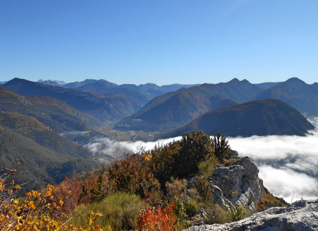
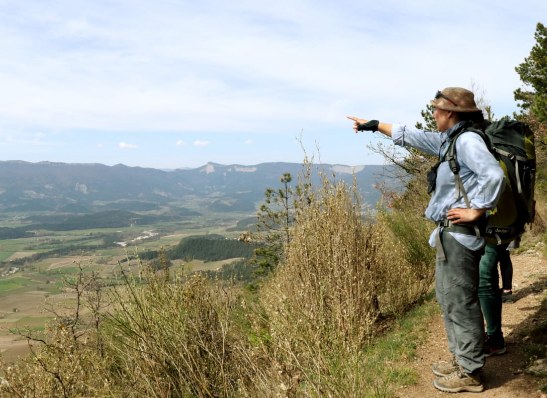
Follow the combe through which a babbling brook flows under a Mediterranean canopy to a balcony with breathtaking views of the Glandasse cliffs, the Roman tile roofs of Châtillon and the highest rows of vines in France...
- AddressChamp de Foire
26410 Châtillon-en-Diois - Phone04 75 22 03 03
- Emailcontact@diois-tourisme.com
- WebsiteSee the website
Our tips
- Details about route marking :
Balisage jaune et vert (PR) et blanc et rouge (GR) avec poteaux de signalétique directionnelle - Références topographiques :
Topoguide "Le Diois à pied - Aux sources de la Drôme" de la Fédération Française de Randonnée.
Carte Vercors-Diois du PNR Vercors - Map references :
TOP 25 IGN 3237
Drôme Tourisme cannot be held responsible for any problems encountered along the route.
Any problems encountered can be outlined here:
Author: Conseil Départemental de la Drôme - Apidae Tourisme
To show the map
0M
0M