From Ancône's quay to Rhône islands
- Distance16 km
- Duration4h
- TypeCircular
- DifficultyModerate
- Total altitude change+ 20 m
- Departure/arrivalAncône
- Route markingYes
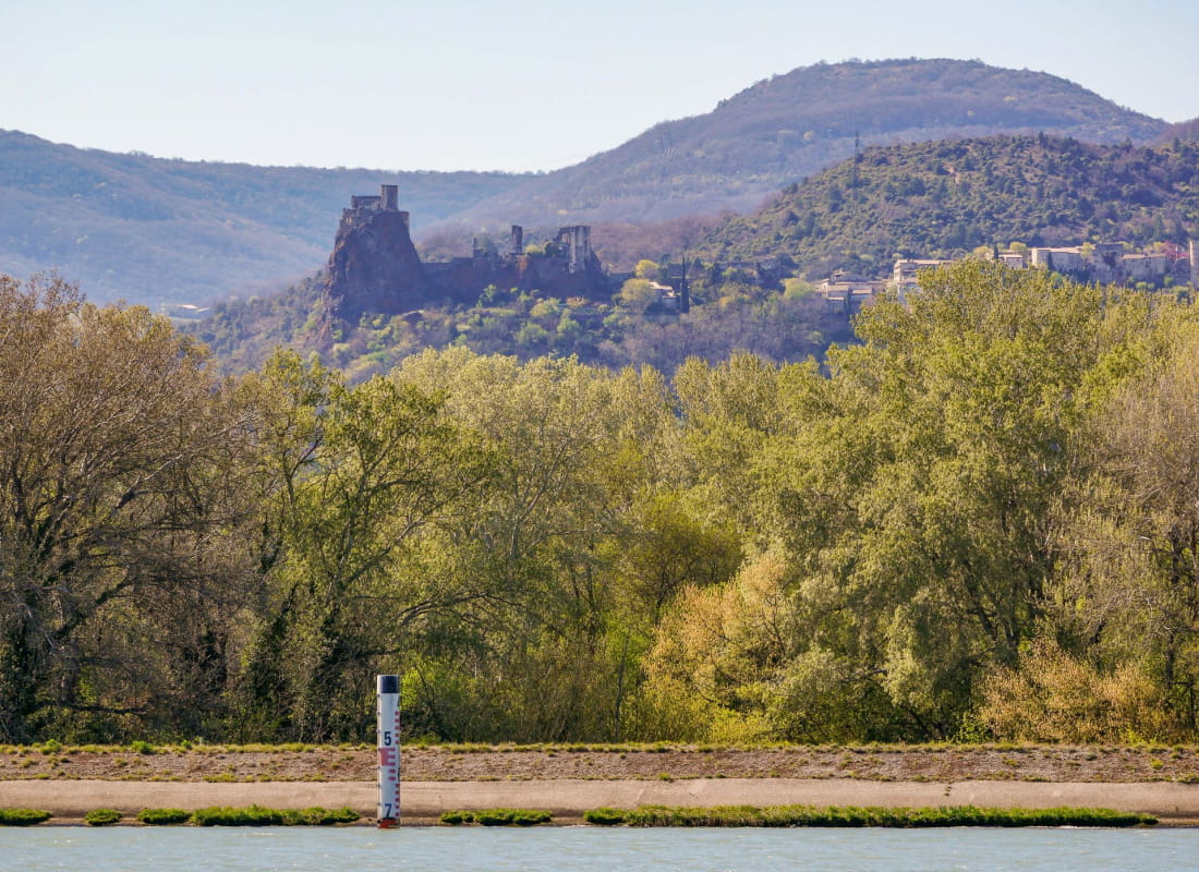
Go and explore this rich aquatic area on the Rhône side. Ancône is a village with many histories to be told.
Starting point at Place Albert Goujon.
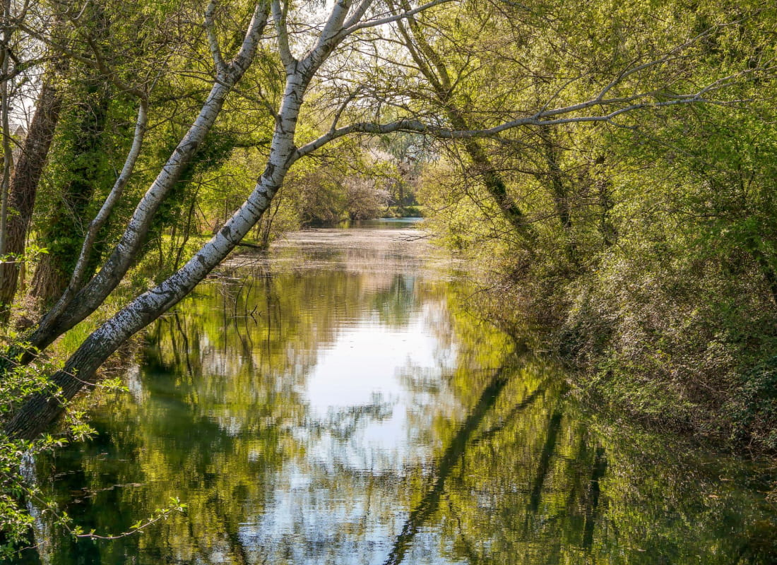
Walk straight towards Rue Louis Delpech. Turn left on Allée des Santolines, then right on Rue de la Croix. Cross the road and take the path alongside the Lône river. Take the footbridge on the plane tree square.
Turn left on the dyke.
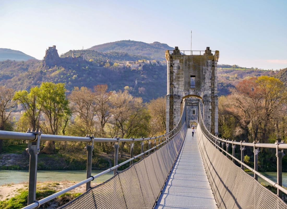
Walk under the bridge and turn left to reach the road. Walk on the left side of the bridge with cautions and turn left just after.
Turn left to reach the Viarhôna and continue straight alongside the Rhône canal. Walk on the Viarhôna for 2,5 km. Then turn right and reach the road.
Cross the road and take the road straight, heading towards the lake/outdoor activities centre. Walk past the carpark and turn left. Tour the lake and get back to the carpark. The loop is about 3,2 km.
Turn left and cross the bridge, then turn right right after. Continue on the grassy path then turn turn left to reach back the road.
Turn right then left at the next junction. Take the path to the right. At the junction, turn left and walk under the bridge. Keep the track and get to the Viarhôna.
Cross the bridge with caution and walk towards Ancône. Turn on the first on the right.Continue straight to reach the town centre and go back to the starting point.
- AddressSalle des fêtes
Place Albert Goujon
26200 Ancône - Phone04 75 01 00 20
- Emailinfo@montelimar-tourisme.com
- WebsiteSee the website
Drôme Tourisme cannot be held responsible for any problems encountered along the route.
Any problems encountered can be outlined here:
Author: Conseil Départemental de la Drôme - Apidae Tourisme