GRP des Monts du Matin
- Distance130,6 km
- Duration25h20
- DifficultyDifficult
- Total altitude change+ 3390 m
- Departure/arrivalSaint-Nazaire-en-Royans
- Route markingYes
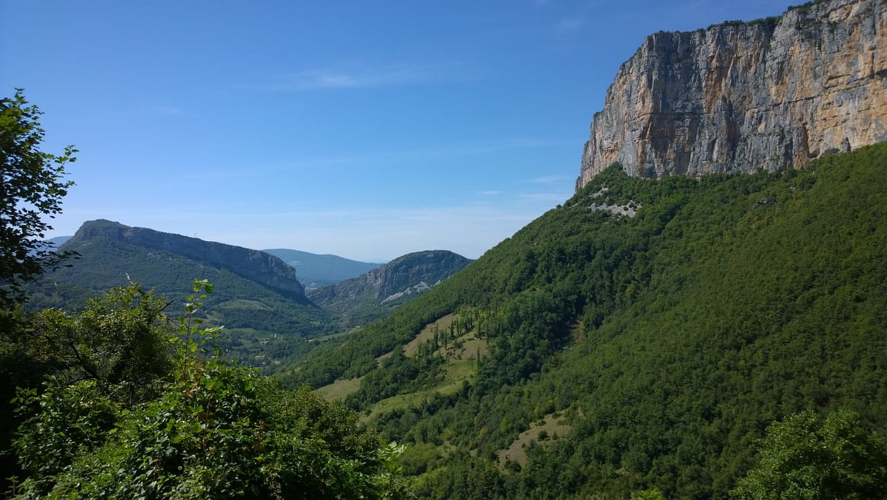
An imposing limestone barrier between Crest and Combovin, this massif marks the entrance to the Alps from the Rhône Valley. These first foothills of the Vercors invite visitors to enjoy sumptuous hikes.
- Address26190 Saint-Nazaire-en-Royans
Drôme Tourisme cannot be held responsible for any problems encountered along the route.
Any problems encountered can be outlined here:
Author: Conseil Départemental de la Drôme - Apidae Tourisme
To show the map
0M
0M