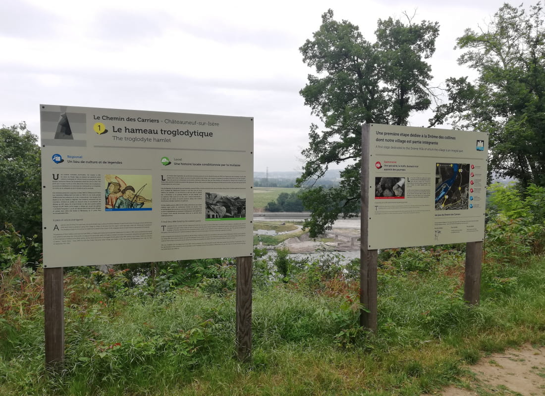
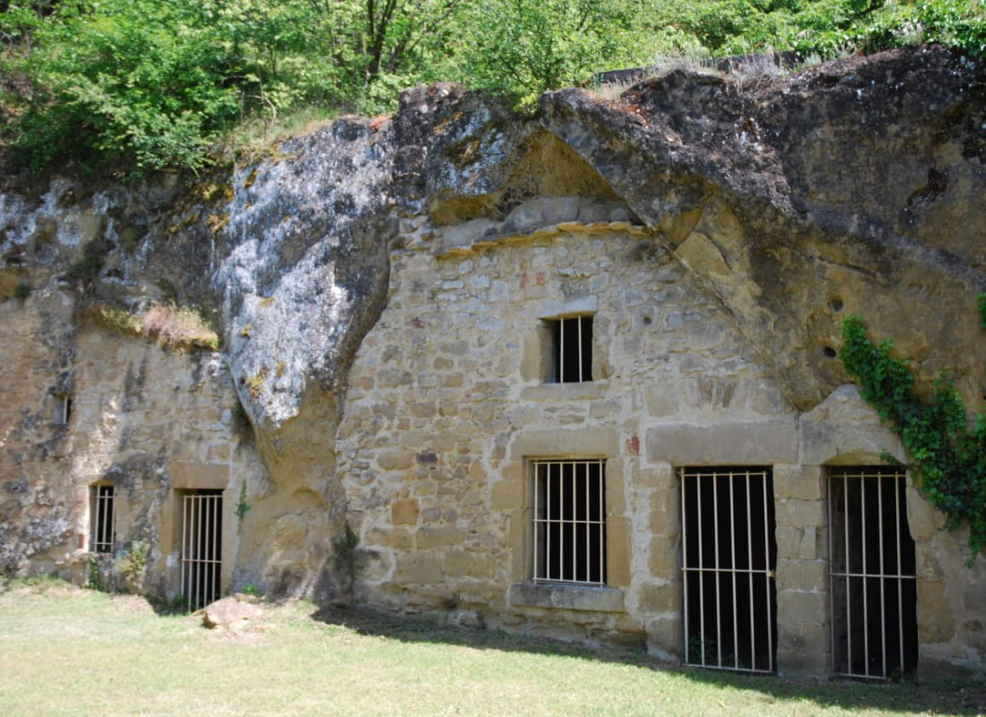
Le chemin des Carriers
Ajouter au carnet de voyage
- Distance10 km
- Duration3h
- DifficultyModerate
- Total altitude change+ 308 m
- Departure/arrivalChâteauneuf-sur-Isère
- Route markingYes
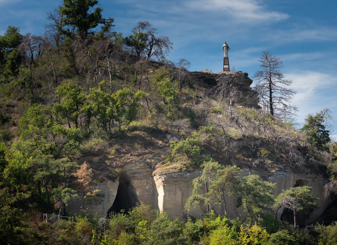
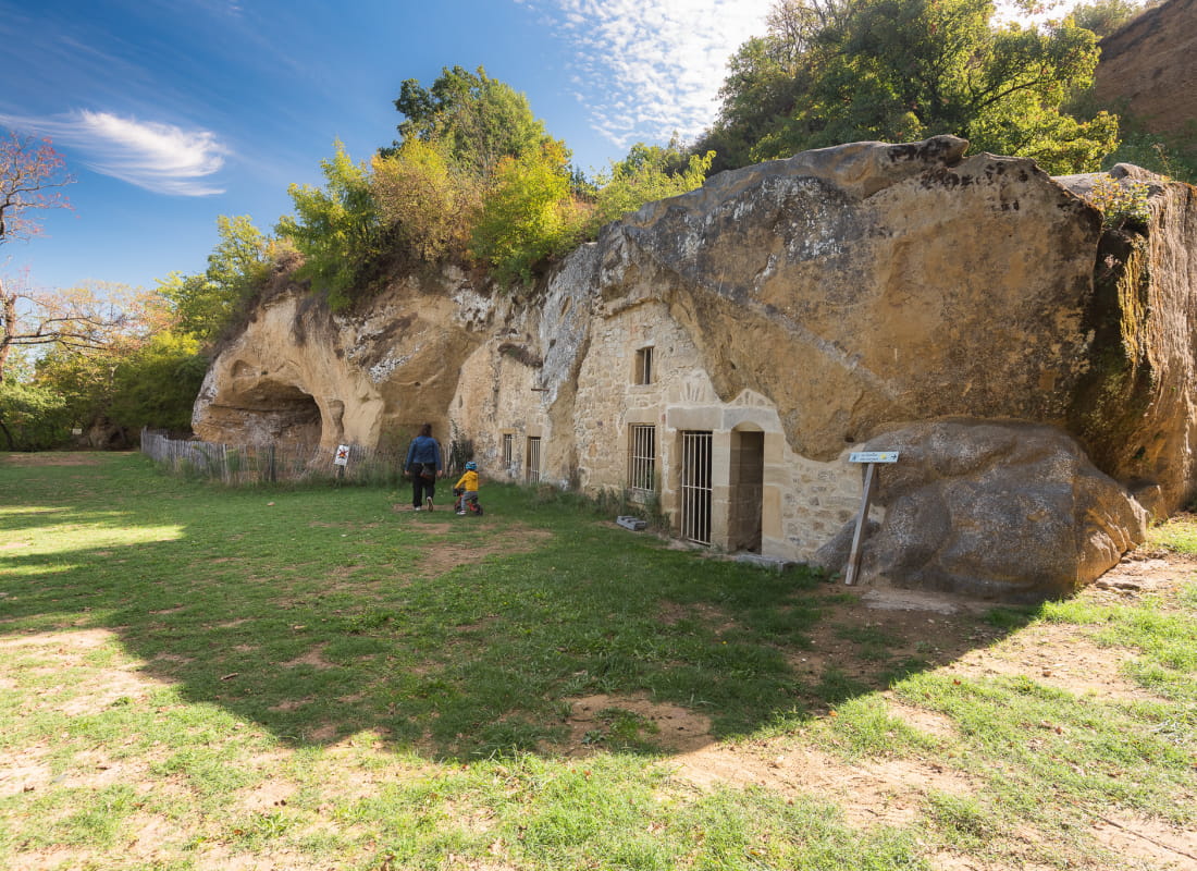
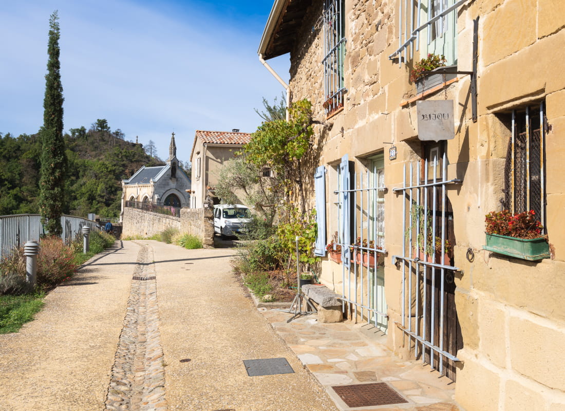
This 10-panel trail lets you discover the commune's rich heritage, as you scan the horizon from the Valence plain to the Drôme des collines, and from Crest to Hauterives.
Accessible from Valence by public transport.
How to get there:
- Take Citéa line 20 from Pôle Bus Valence (direction Châteauneuf).
- Get off at the "Châteauneuf Centre" stop in Châteauneuf-sur-Isère, which is just a few steps from the church square where the walk begins.
- AddressDépart Parking Place de l'Isère
26300 Châteauneuf-sur-Isère - Phone04 75 02 28 72
Drôme Tourisme cannot be held responsible for any problems encountered along the route.
Any problems encountered can be outlined here:
Author: Conseil Départemental de la Drôme - Apidae Tourisme
To show the map
0M
0M