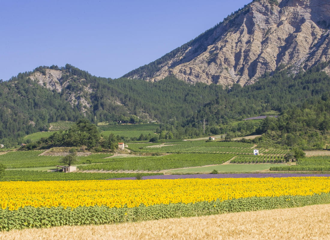
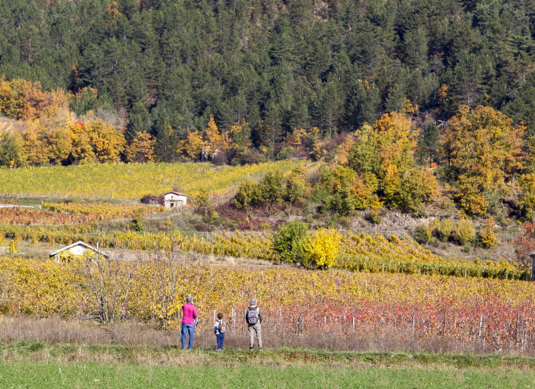
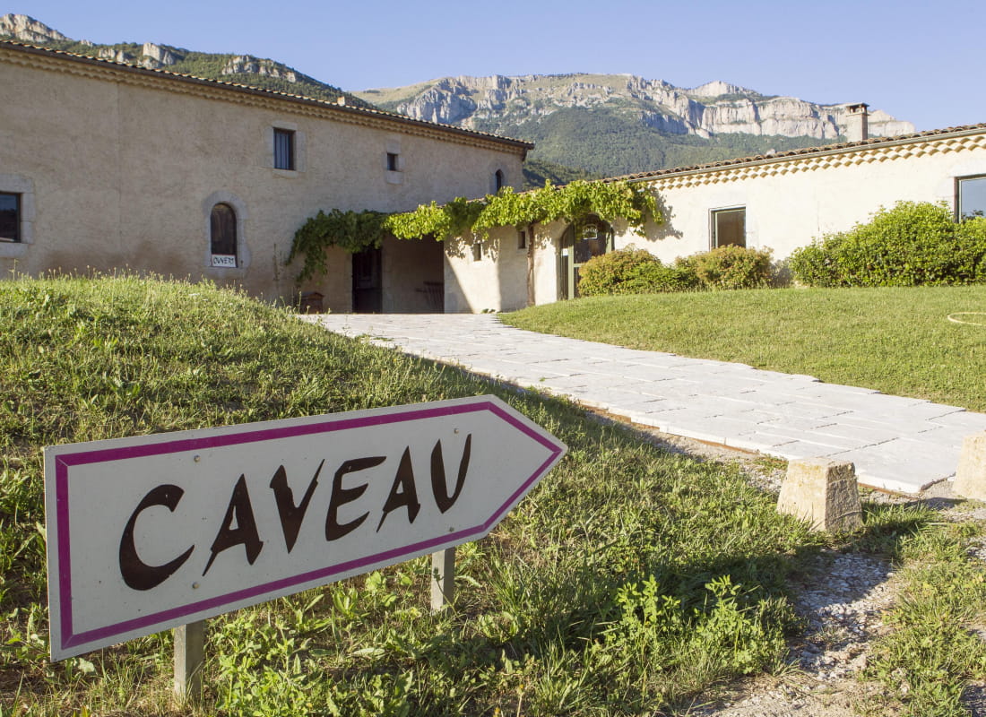
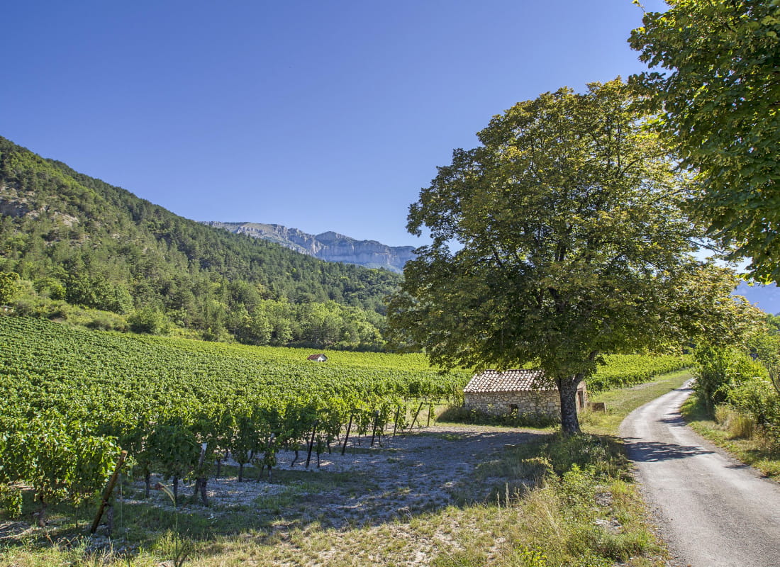
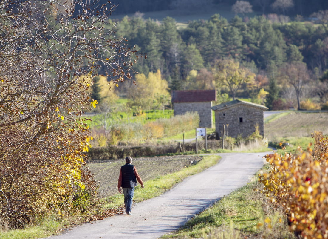
Le chemin des vignes
Ajouter au carnet de voyage
- Distance4,4 km
- Duration1h30
- TypeCircular
- DifficultyVery easy
- Total altitude change+ 90 m
- Departure/arrivalChâtillon-en-Diois
- Route markingYes
- AddressParking Domaine de Maupas
26410 Châtillon-en-Diois - Phone04 75 22 03 03
- Emailcontact@diois-tourisme.com
- WebsiteSee the website
Our tips
- Details about route marking :
Balisage jaune et vert (PR) et poteaux de signalétique directionnelle - Map references :
TOP 25 IGN 3237
Drôme Tourisme cannot be held responsible for any problems encountered along the route.
Any problems encountered can be outlined here:
Author: Conseil Départemental de la Drôme - Apidae Tourisme
To show the map
0M
0M