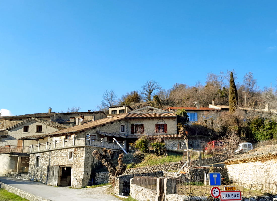
Le pas de la Pousterle
Ajouter au carnet de voyage
- Distance8,5 km
- Duration4h
- TypeCircular
- DifficultyDifficult
- Total altitude change+ 670 m
- Departure/arrivalRecoubeau-Jansac
- Route markingYes
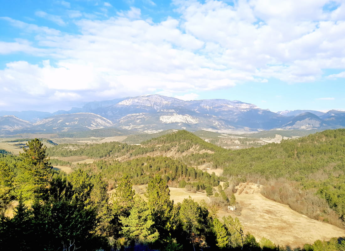
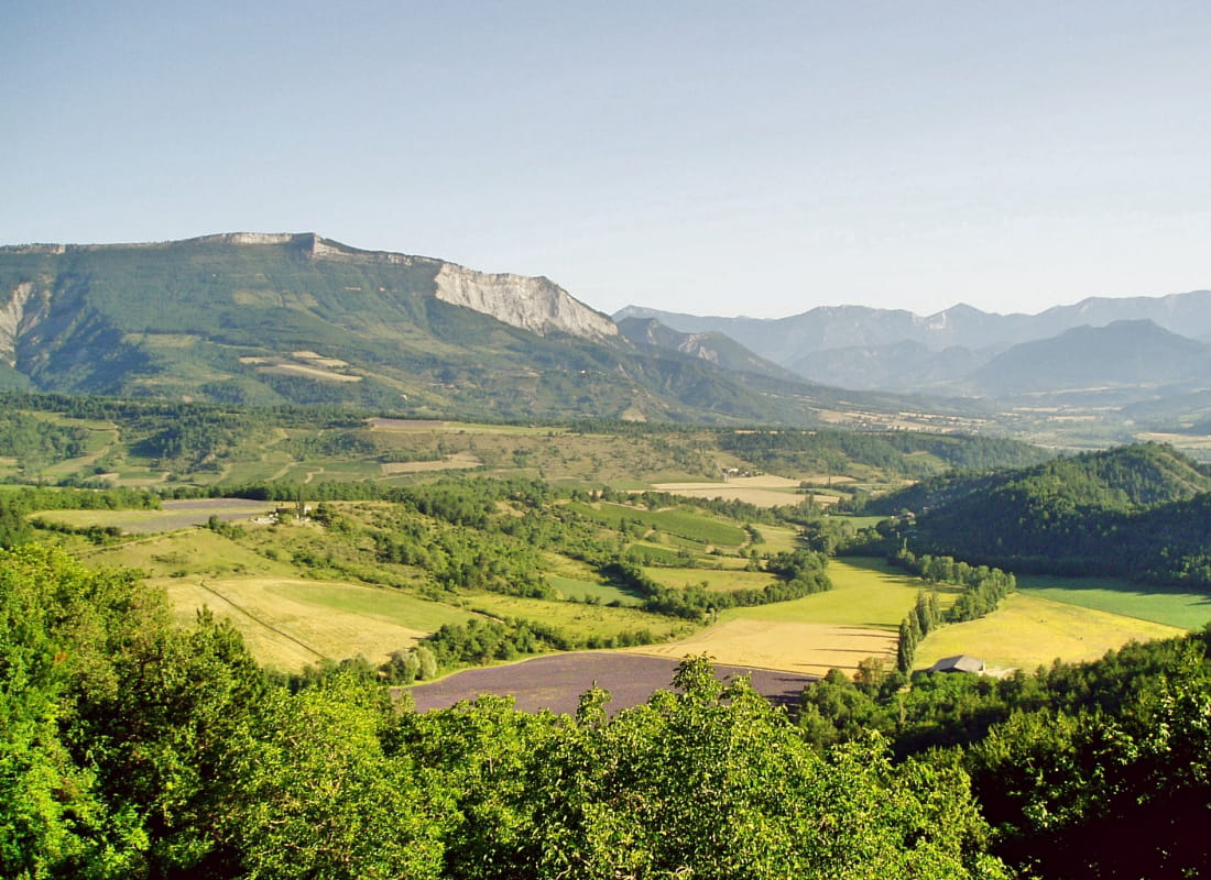
In lavender country, from a village perched on a rocky spur facing the Vercors, this loop between pine forest and beech grove offers the geological curiosity of the crevasses du pas, while opening out onto the slopes of the Drôme valleys ...
- Address26310 Recoubeau-Jansac
- Phone04 75 22 03 03
- Emailcontact@diois-tourisme.com
- WebsiteSee the website
Our tips
- Details about route marking :
Balisage jaune (PR). - Difficult stretches :
Montée et descente soutenues. - Références topographiques :
Topoguide "Le Diois à pied - Aux sources de la Drôme" de la Fédération Française de Randonnée. - Map references :
TOP 25 IGN 3238
Drôme Tourisme cannot be held responsible for any problems encountered along the route.
Any problems encountered can be outlined here:
Author: Conseil Départemental de la Drôme - Apidae Tourisme
To show the map
0M
0M