Les collines de la Galaure
- Distance40 km
- Duration4h
- TypeCircular
- DifficultyDifficult
- Total altitude change+ 627 m
- Departure/arrivalSaint-Vallier
- Route markingYes
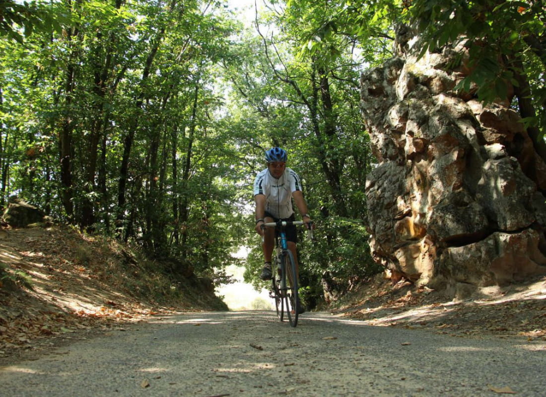
Starting in the historical town centre of Saint-Vallier, this trail leaves the Rhône river to cross through gorges taking you to the mysterious "Dancing Rocks". To discover in the application "les Echappées inspirées"
Towards the plain of the Valloire you will enjoy splendid views of the hills of the Drôme, the Ardèche and the Pilat.
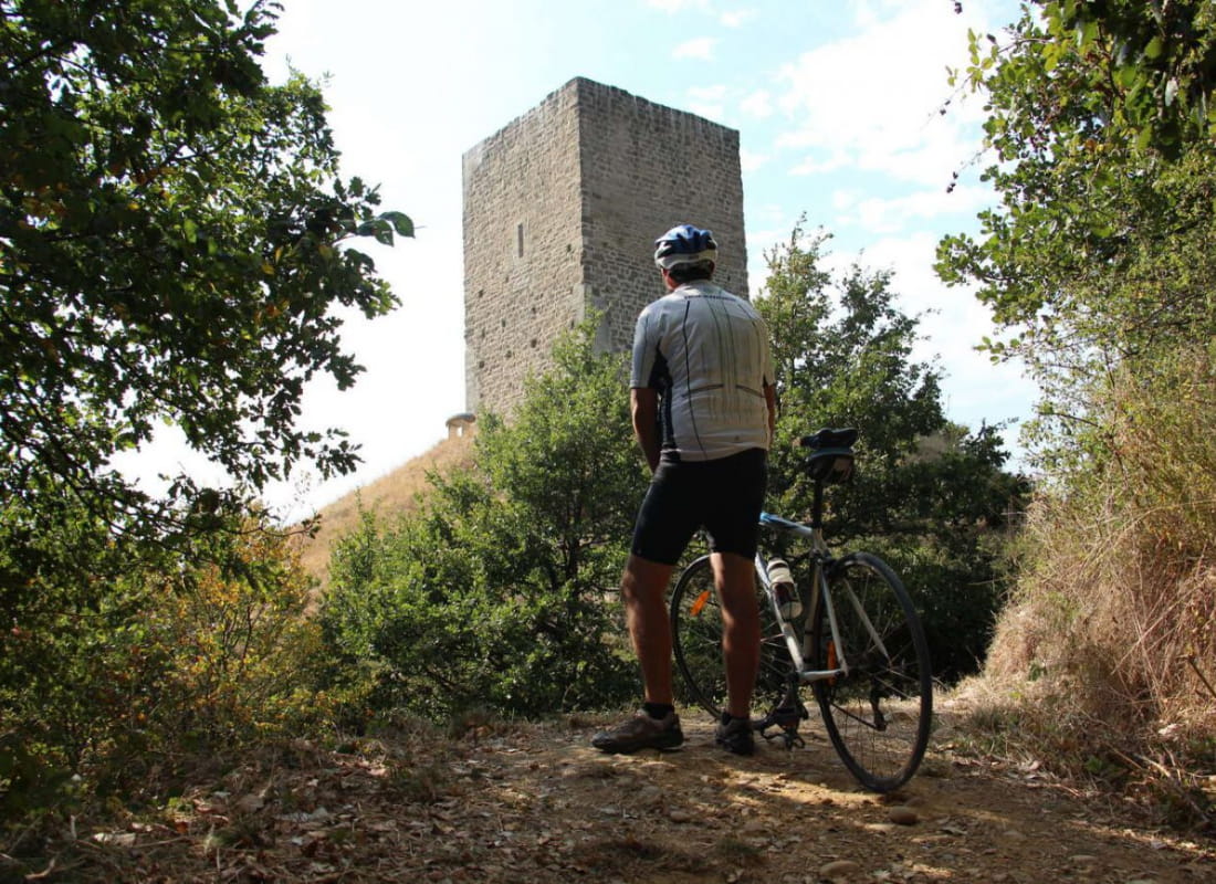
From the historic town center of Saint-Vallier, the loop leaves the Rhône at Ponsas and rises through the gorges to the mysterious Roches qui dansent. Then, you will reach Saint-Barthélémy-de-Vals and the village of Claveyson and will cross the Galaure valley. Take a break to discover La Motte-de-Galaure and the Saint-Agnès priory. The road then climbs towards Fay-le-Clos. Before turning towards the plain of Valloire you will enjoy splendid views of the hills of the Drôme but also of the Pilat, the Ardèche and the Vercors. A stopover is necessary in Laveyron to take advantage of the banks of the Rhône, the Ronceraie park and its many leisure facilities.
Find this route on our application "Les Echappées Inspirées".
It is a free application that turns your cell phone into a GPS for walking, cycling and mountain biking. Once the route is loaded online, no need to be connected, no more risk of getting lost.
The walker is guided by the voice instructions of his device, which indicates changes of direction, natural or historical points of interest, possible areas of caution ...
Photos, audio content and small quizzes are also available to enhance the walk and help you find your way around.
- AddressPlace du Champ de Mars
26240 Saint-Vallier - Phone04 75 23 45 33
- Emailporte@dromardeche.fr
- WebsiteSee the website
Our tips
- Details about route marking :
Balisage N°7 La Drôme à Vélo - Références topographiques :
Bons plan la Drôme
Drôme Tourisme cannot be held responsible for any problems encountered along the route.
Any problems encountered can be outlined here:
Author: Conseil Départemental de la Drôme - Apidae Tourisme