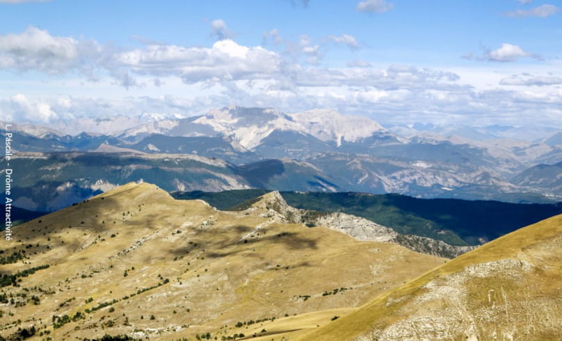
Les crêtes de la Sarcena
Site Natura 2000 « Pelouses, forêts et habitats rocheux de la montagne de l’Aup et de la Sarcena »
On rencontre sur ce massif toute une avifaune typique de montagne (Venturon montagnard, Traquetsmotteux, Pipit spioncelle, Merle de roche…). Une population de Tétras lyre se maintient sur les deux versants, et la Chouette de Tengmalm a été détectée dans les boisements de Hêtres et de Sapins. Cette zone présente une richesse botanique exceptionnelle : 450 espèces végétales recensées, dont trois espèces végétales inscrites au "livre rouge" de la flore menacée de France : la Saxifrage du Dauphiné, le Cytise de Sauze et le Myosotis à fleurs minuscules.
- AddressStation de Valdrôme
26310 Valdrôme - Phone04 75 22 03 03
- Emailcontact@diois-tourisme.com
- WebsiteSee the website
Our tips
- Details about route marking :
Balisage jaune (PR) et poteaux de signalétique directionnelle. - Difficult stretches :
Sentier de crête peu marqué entre les racines des buis et les rochers nécéssitant d'enjamber de petits obstacles. - Références topographiques :
Topoguide "Le Diois à pied - Aux sources de la Drôme" de la Fédération Française de Randonnée. - Map references :
TOP 25 IGN 3238
Drôme Tourisme cannot be held responsible for any problems encountered along the route.
Any problems encountered can be outlined here:
Author: Conseil Départemental de la Drôme - Apidae Tourisme

