Eglise Notre-Dame
Saoû
Ajouter au carnet de voyage
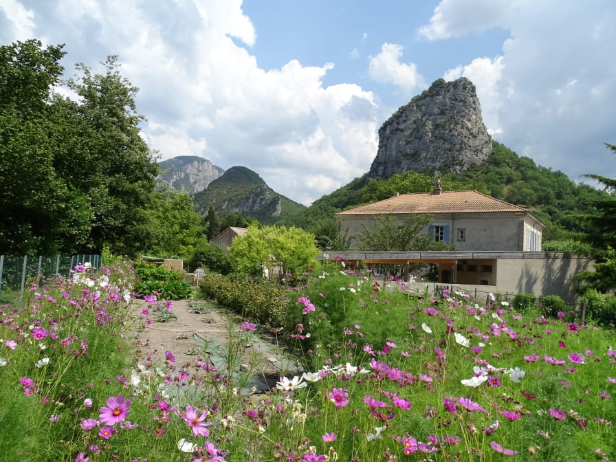
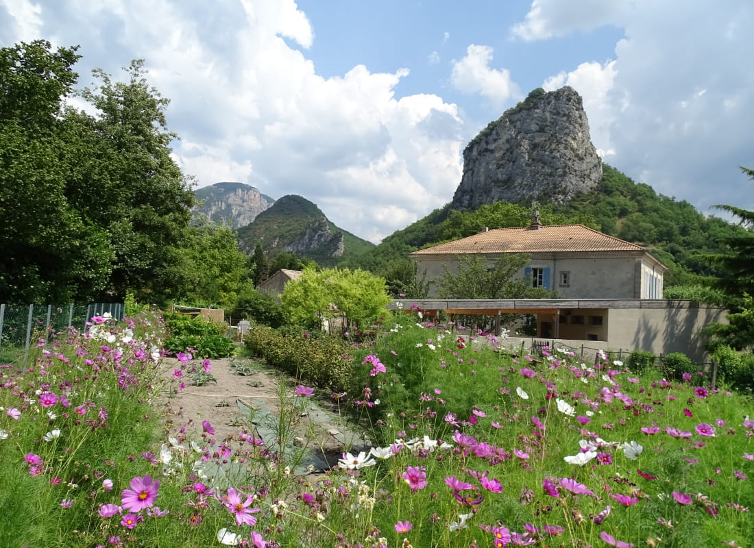
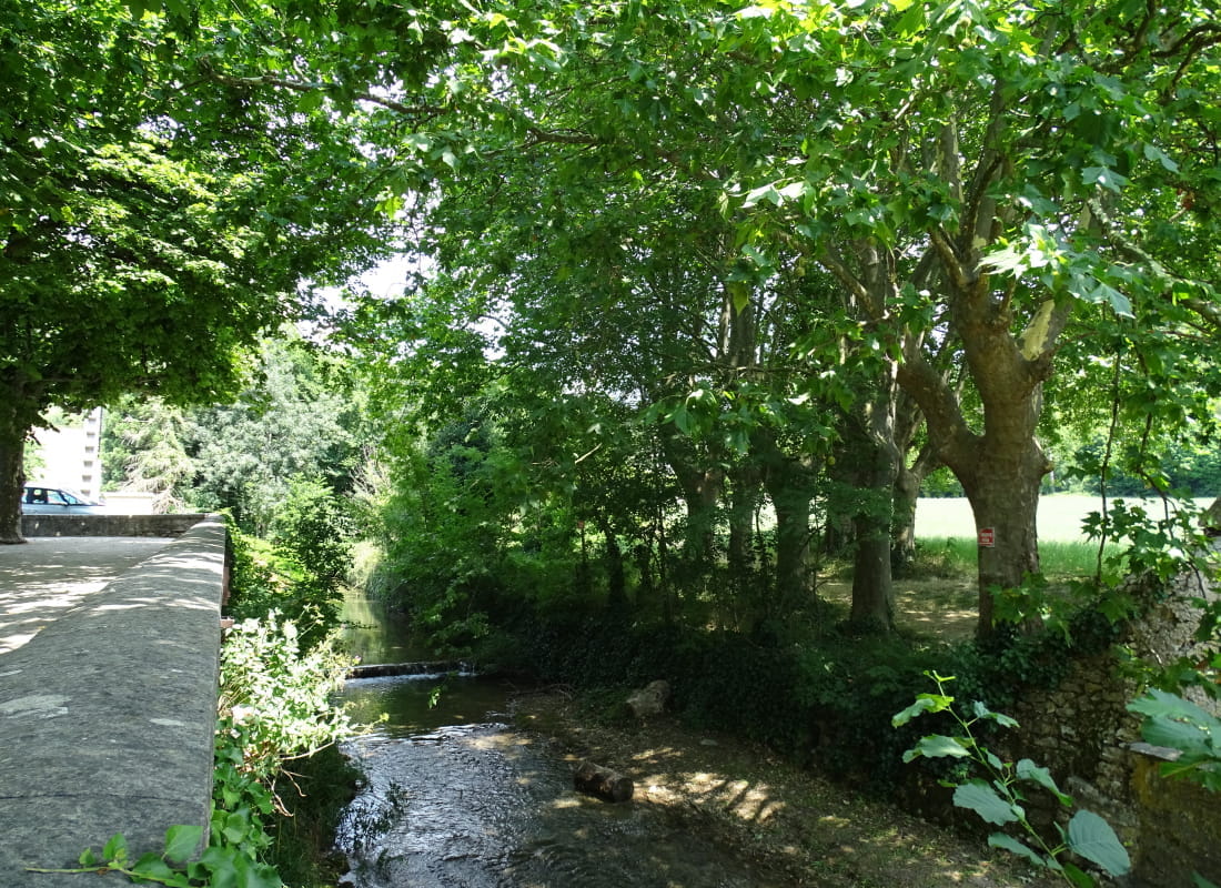
Charming village built around the Vèbre, a quality river and its canal. Located at the entrance door of the perched syncline of the Saoû forest, the view arriving from Crest is picturesque with the opening on the high cliffs speckled with greenery.
In the Middle Ages, the village was fortified and made up of 3 districts: the perched village at the foot and south of the Roc, the bourg des églises and the bourg de l'Oume.
The "bourg des églises" was already fortified in 1319: it owes its name to the presence of the parish church of Notre-Dame (12th c.) dedicated to Mary and the Abbey of St. Tiers. At the time, they were linked by a cloister.
In the 15th century, 4 gates were known to have pierced the ramparts. Today, the walls have all but disappeared.
The village was radically altered after the bombardment of June 1944, and is now organized around 2 squares: Place des Cagnards and Placette (shops).
All that remains of St. Tiers Abbey is the belfry (18m high), which was in fact a square tower that had been redesigned: it is the village clock and also bears the iron shaft of a sundial.
A 17th-century water-powered walnut oil mill was in operation until the 1960s.
Close to the village, 3 old buildings are worthy of note: the Château d'Eurre (a 14th-century medieval fortified house), the Château de Lastic (a 15th-century fortified house that became a Renaissance residence in the 16th century) are located on the route de la forêt, and the former dimière barn of the Abbaye St Tiers (13th century), on the route de Crest. Here, the monks kept their harvests and the taxes levied on the inhabitants.
All year round, daily.
Free access.