Sentier VTT La Voie Romaine - 8
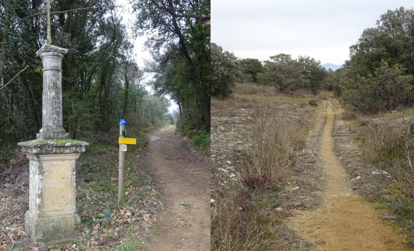
This easy level circuit has the particularity of making a loop in eight. Between stone walls and lavender fields to start, you will take a nice path along the Lez, to reach "Le Calvaire" built in 1872, where will begin "the old Roman road", about 3 km. You will join Colonzelle, then Chamaret by the chapel St Bartholomew. The second loop will take you into the alleys of the village; then, by cross roads you will join the stone cross "Vicars", and you will follow the truffle oaks near the "Cave of Rochecourbière". The return on Chamaret you will discover beautiful landscapes and fun trails
Distance 21.5 km
Markup 8 Blue
Easy level
Ouvrir dans Google Traduction
- AddressPlace de la République (face Mairie)
26230 Chamaret - Phone04 75 46 56 75
- Emailinfo@grignanvalreas-tourisme.com
- WebsiteSee the website
Our tips
- Details about route marking :
Balisage 8 Bleu
Niveau facile - Difficult stretches :
4 passages délicats merci de faire attention aux voitures Waypoints 2, 3, 6 et 7 (D481 et D71) - Map references :
Carte IGN 3039 ET et 3038 SB
Drôme Tourisme cannot be held responsible for any problems encountered along the route.
Any problems encountered can be outlined here:
Author: Conseil Départemental de la Drôme - Apidae Tourisme

