The Extremes
- Distance22,7 km
- Duration7h
- TypeCircular
- DifficultyDifficult
- Total altitude change+ 750 m
- Departure/arrivalMarsanne
- Route markingYes
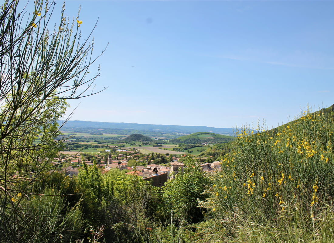
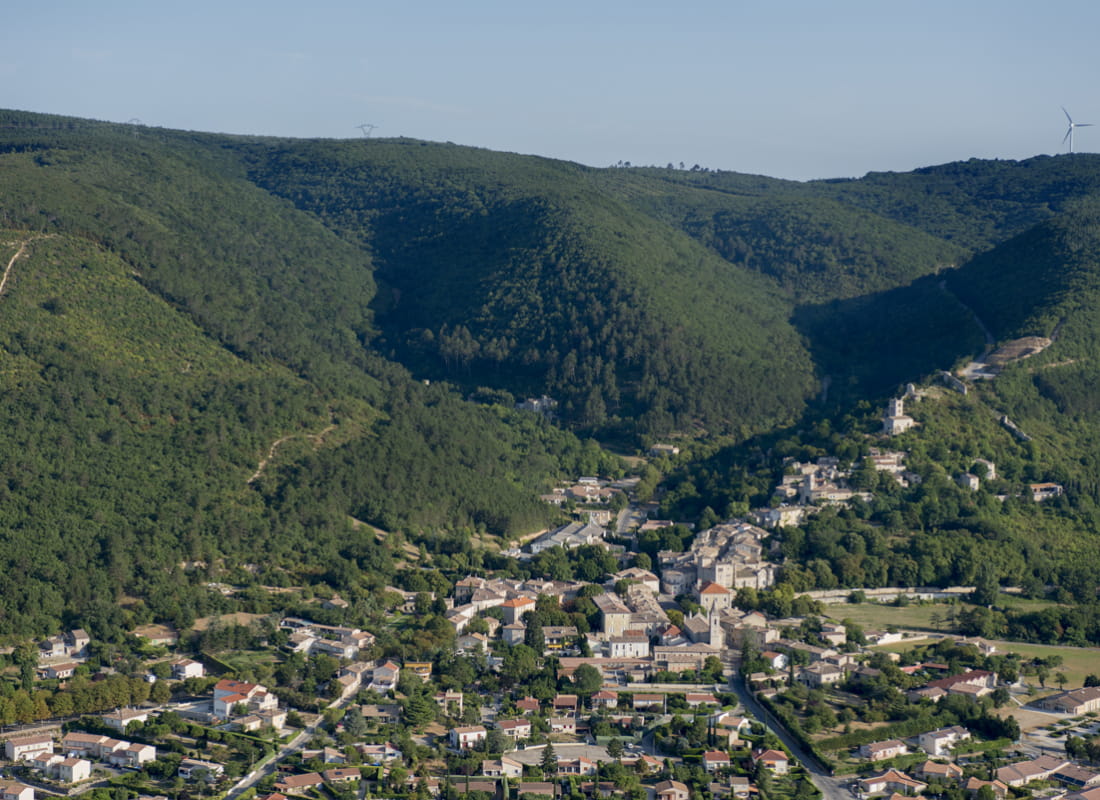
A two-in-one hike! Go and explore Marsanne forest, it's a place loved by hikers: large views over Valdaine plains, Rhône valley, Diois and Baronnies mountains.
Starting point at Place Emile Loubet. Walk up Rue du Comte de Poitiers. Continue straight at the washing place to walk under the belfry.
Turn right 100 metres later to climb the stairs leading to Saint-Felix chapel. Keep climbing. Take the path on the right at the viewpoint over the plains and over the old village.
The path leads to Pierre Sanglante pass (alt 438m).
Turn left to head north and follow the main track. The path follows the limit between Marsanne and Mirmande (red paint on the trees). It leads to the Grande Limite pass. You can shorten the loop by getting back to the village using the "Fileuses" hike.
Cross the road and take the path on the right. At Gros Fayard junction, leave the main track to take a small path on the right.
The path is climbing up to Grand Travers and go down to Borne Rousse with a splendid viewpoint. Follow the crest on the left. Then turn right on a earthy path.
Continue straight at the junction and go back to the village centre.
- AddressPlace Emile Loubet
26740 Marsanne - Phone04 75 01 00 20
- Emailinfo@montelimar-tourisme.com
- WebsiteSee the website
Drôme Tourisme cannot be held responsible for any problems encountered along the route.
Any problems encountered can be outlined here:
Author: Conseil Départemental de la Drôme - Apidae Tourisme