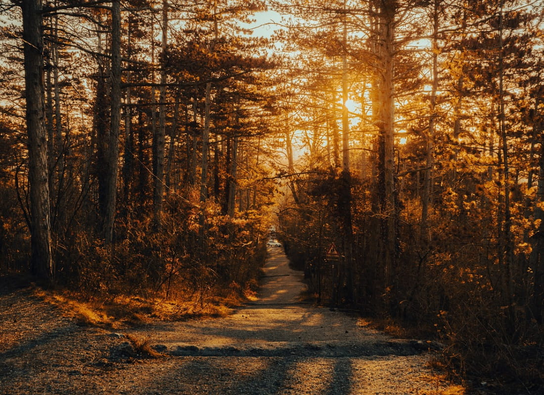
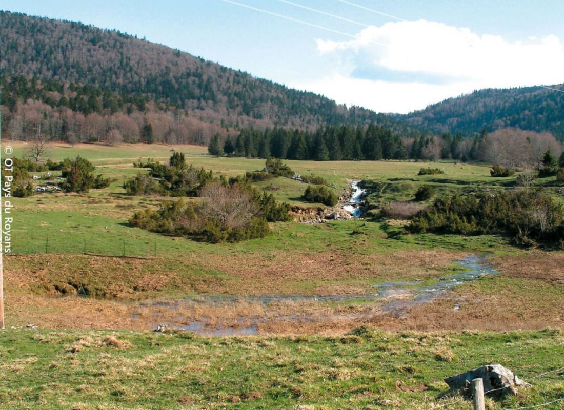
Forêt de Lente
Ajouter au carnet de voyage
- Distance6,7 km
- Duration2h30
- DifficultyModerate
- Total altitude change+ 131 m
- Departure/arrivalBouvante
- Route markingYes
A magnificent circular walk in the prestigious forest of Montagne de Lente, at the gateway to the Hauts du Vercors nature reserve.
- Address26190 Bouvante
- Phone04 75 48 22 54
- WebsiteSee the website
Drôme Tourisme cannot be held responsible for any problems encountered along the route.
Any problems encountered can be outlined here:
Author: Conseil Départemental de la Drôme - Apidae Tourisme
To show the map
0M
0M