Grand Pas
Ajouter au carnet de voyage
- Distance34 km
- Duration3h30
- TypeCircular
- DifficultyDifficult
- Total altitude change+ 780 m
- Departure/arrivalDieulefit
- Route markingYes
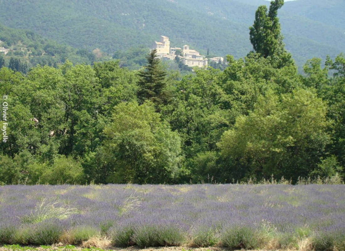
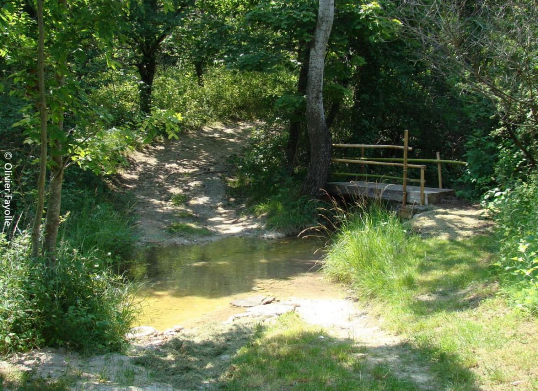
The first physical part of this route offers fine views of the Poët-Laval mountains. The second half, much quieter, follows the banks of the river.
Vous profiterez ensuite d’une seconde moitié beaucoup plus tranquille qui vous permettra d’apprécier un cheminement en bord de rivière. Possibilité de raccourcir l’itinéraire en partant du Poët-Laval (waypoint 3).
- AddressPlace de la Gare
26220 Dieulefit - Phone04 75 46 42 49
- WebsiteSee the website
Our tips
- Details about route marking :
Suivre n°6
Drôme Tourisme cannot be held responsible for any problems encountered along the route.
Any problems encountered can be outlined here:
Author: Conseil Départemental de la Drôme - Apidae Tourisme
To show the map
0M
0M