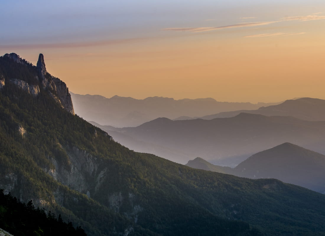
Le Pison - Pas de Chabrinel
Ajouter au carnet de voyage
- Distance15,4 km
- Duration6h15
- TypeCircular
- DifficultyDifficult
- Total altitude change+ 1080 m
- Departure/arrivalRomeyer
- Route markingYes
- AddressParking du Fournaire
26150 Romeyer - Phone04 75 22 03 03
- Emailcontact@diois-tourisme.com
- WebsiteSee the website
Our tips
- Details about route marking :
Balisage jaune et vert (PR) et rouge et blanc (GR) avec des poteaux de signalétique directionnelle. - Difficult stretches :
Passage dans les éboulis sous le pas de Chabrinel pouvant être technique par temps pluvieux. - Références topographiques :
Carte Vercors-Diois du PNR Vercors - Map references :
TOP 25 IGN 3237
Drôme Tourisme cannot be held responsible for any problems encountered along the route.
Any problems encountered can be outlined here:
Author: Conseil Départemental de la Drôme - Apidae Tourisme
To show the map
0M
0M