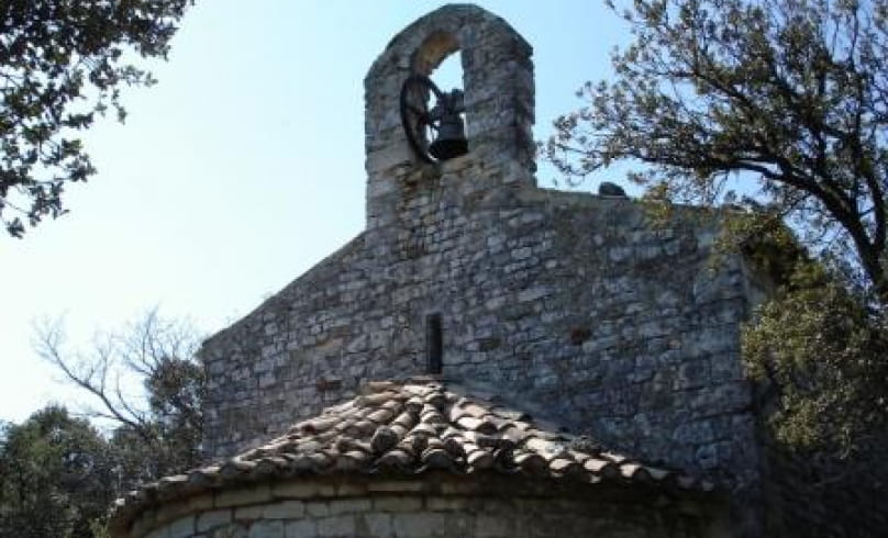
Randonnée de Toronne La Templière
Lieu de départ: parking nord du village
Balisage: jaune
Distance: 5.5km
Durée: 2h
A partir du parking nord du village, aller en direction du village, prendre le sentier à gauche qui rejoint la même route en contrebas. La suivre sur 500m et dans un virage à droite descendre sur la gauche. Arrivé aux trois intersections, continuer tout droit.
Derrière la ferme, direction Toronne, (libre choix de monter à la Chapelle de Toronne puis de revenir) prendre la route goudronnée qui longe des vignes, la route devient chemin de terre. Contourner le fond de la combe en passant entre la ferme et le bassin, monter jusqu'au replat en ignorant plusieurs sentiers sur la gauche.
Au sommet prendre à gauche le chemin caillouteux (30min) qui va déboucher sur une petite route goudronnée. Suivre cette route (superbe vue sur Clansayes et les Cévennes), surveiller à gauche un sentier qui descend entre deux champs.
A l'arrivé sur la route, abandonner celle-ci immédiatement pour un sentier qui va rejoindre le haut du cimetière, direction le village. Arrivée au point de départ.
- Address26130 Clansayes
- Phone04 75 04 70 68
- WebsiteSee the website
Our tips
- Details about route marking :
Circuit violet N°7
Drôme Tourisme cannot be held responsible for any problems encountered along the route.
Any problems encountered can be outlined here:
Author: Conseil Départemental de la Drôme - Apidae Tourisme

