Les crêtes de Tarsimoure
Ajouter au carnet de voyage
- Distance10,8 km
- Duration5h
- TypeCircular
- DifficultyVery difficult
- Total altitude change+ 700 m
- Departure/arrivalValdrôme
- Route markingYes
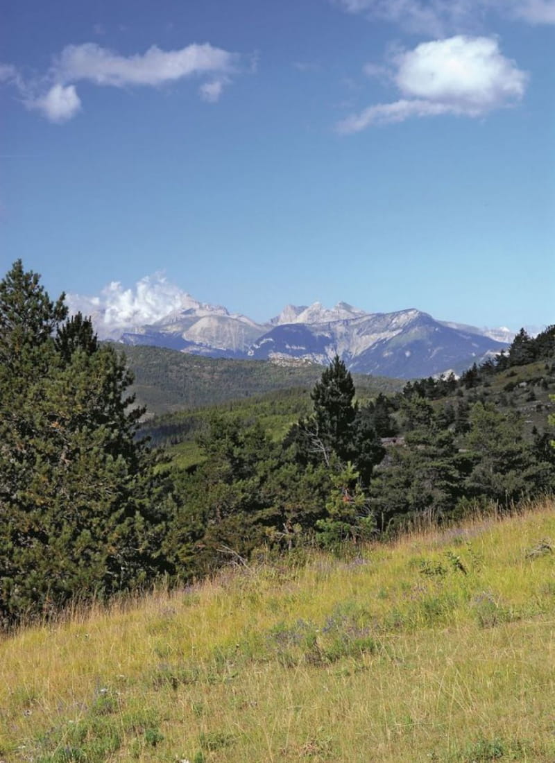
A sporty crossing reserved for experienced hikers: wild and aerial, sometimes tricky and always panoramic, over five kilometers of jagged ridge with 360° views of the Vercors, Dévoluy and Baron...
- AddressParking au hameau de Brézès
26310 Valdrôme - Phone04 75 22 03 03
- Emailcontact@diois-tourisme.com
- WebsiteSee the website
Our tips
- Details about route marking :
Le sentier est balisé avec des panneaux + peinture jaune. - Map references :
TOP 25 IGN 3238
Drôme Tourisme cannot be held responsible for any problems encountered along the route.
Any problems encountered can be outlined here:
Author: Conseil Départemental de la Drôme - Apidae Tourisme
To show the map
0M
0M